Rocks · 20th Century
Schmetten Schaff
Naturdenkmal
- Listed monument


Description
This description is only available in German.
Translate with Google opens this page in Google Translate (external service)
Classification
- Subject area
- Natural Features
- Category
- Rocks
- Date
- 01.02.1978 [Unterschutzstellung]
- Period
- 20th Century
Location
- District
- Eifelkreis Bitburg-Prüm
- Collective municipality
- Südeifel
- Municipality
- Holsthum
- Field name
- Odendell
- Coordinates
- WGS 84: 49.877719, 6.421341 (Position: exact) WGS 84: 49° 52′ 39.8″ N, 6° 25′ 16.8″ E UTM 32 (ETRS89): E 314737 · N 5528224
Sources
Data sources
- [1] Die schöne Eifel. Naturpark Südeifel. Hrsg. Eifelverein. 1. Auflage.
- [2] Hinweisschild vor Ort.
On the internet
Picture credits
Last edited: 28 Apr 2004 Object ID: 4552
https://kulturdb.de/en/objekt/4552-holsthum-schmetten-schaff
Nearby
The nearest objects
 40 m
Natural Fortresses
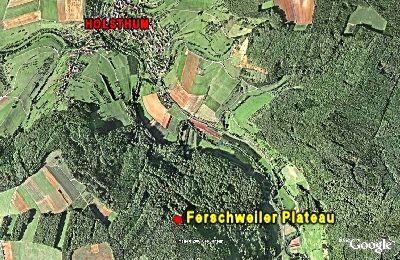
Ferschweiler Plateau - Gründelhecke
No picture
240 m
Burial Mounds
Hügelgräber Gründelhecke
No picture
340 m
Field Names
An Odendell
 420 m
Standing Stones, Menhirs
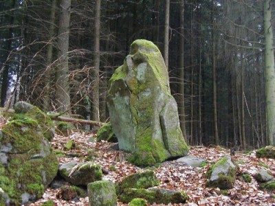
Menhir in der Gründelhecke
No picture
450 m
Field Names
Odendell
 660 m
Natural Landscapes
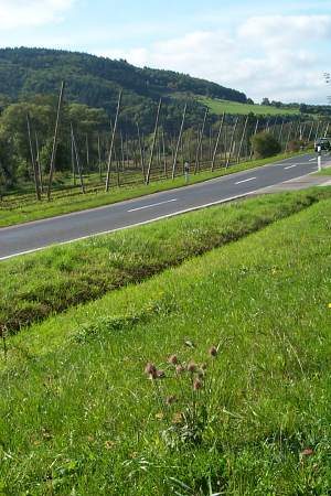
Hopfenanbau
No picture
670 m
Field Names
Im Auel
 790 m
Field Names