Deserted Settlements · Renaissance
Wüstung Eichelrath

Description
This description is only available in German.
Translate with Google opens this page in Google Translate (external service)
1570 enthält ein Visitationsprotokoll der Erzdiözese Trier unter Waxweiler eine ganze Reihe kleiner Rodungssiedlungen, unter diesen auch Eichelrath. [1]
Classification
- Subject area
- Archaeological Monuments
- Category
- Settlements
- Object type
- Deserted Settlements
- Date
- Circa 1500 bis circa 1700
- Period
- Renaissance
Location
- District
- Eifelkreis Bitburg-Prüm
- Collective municipality
- Arzfeld
- Municipality
- Dackscheid
- Field name
- Auf Wüstenberg
- Coordinates
- WGS 84: 50.121539, 6.390928 (Position: presumed) WGS 84: 50° 07′ 17.5″ N, 6° 23′ 27.3″ E UTM 32 (ETRS89): E 313499 · N 5555404
Sources
Data sources
- [1] Janssen, W.: Studien zur Wüstungsfrage im fränkischen Altsiedelland zwischen Rhein, Mosel und Eifelnordrand. 2 Bände. Text u. Katalog, 1975.
On the internet
Picture credits
- Picture 1: Google Earth
Last edited: 29 Aug 2006 Object ID: 457
https://kulturdb.de/en/objekt/457-dackscheid-wuestung-eichelrath
Nearby
The nearest objects
Field Names
Auf Wüstenberg
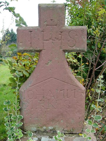 300 m
Wayside Shrines and Stations of the Cross
Wegekreuz
Farmhouses and Farm Buildings
Streckhof
Field Names
Im Geisenpesch
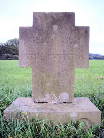 350 m
Wayside Shrines and Stations of the Cross
Wegekreuz
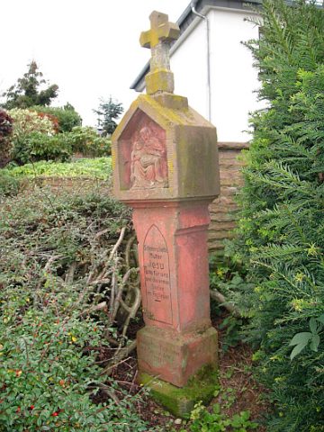 390 m
Wayside Shrines and Stations of the Cross
Wegekreuz
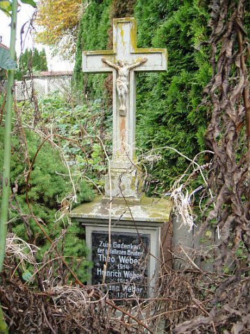 400 m
Wayside Shrines and Stations of the Cross
Gedenkkreuz
 500 m
Wayside Shrines and Stations of the Cross