Settlements · Celtic / Roman Period
Römische Siedlungsreste


© GeoBasis-DE / LVermGeoRP, dl-de/by-2-0
There is no picture of this object yet. Do you have a photo that you would like to make available to the Kulturdatenbank? Submit a picture
Description
This description is only available in German.
Translate with Google opens this page in Google Translate (external service)
Niederung an der Kyll bei Burg Ramstein, Kordel. [1]
Classification
- Subject area
- Archaeological Monuments
- Category
- Settlements
- Object type
- Settlements
- Date
- Circa 500 vor Chr. bis circa 500 nach Chr.
- Period
- Celtic / Roman Period
Location
- District
- Trier-Saarburg
- Collective municipality
- Trier-Land
- Municipality
- Kordel
- Locality / location
- Burg Ramstein
- Field name
- Burg Ramstein
- Coordinates
- WGS 84: 49.823310, 6.644630 (Position: exact) WGS 84: 49° 49′ 23.9″ N, 6° 38′ 40.7″ E UTM 32 (ETRS89): E 330588 · N 5521647
Sources
Data sources
- [1] Fundkarte des südlichen Langmauerbezirks. Auszug aus den Mtbl. Welschbillig 6105 und Trier 6205. In: Trierer Zeitschrift für Geschichte und Kunst des Trierer Landes und seiner Nachbargebiete. Hrsg. Rheinisches Landesmuseum Trier; 34. Jahrgang, 1971. Paulinus Verlag. www.landesmuseum-trier-shop.de
On the internet
Last edited: 17 Nov 2017 Object ID: 45768
https://kulturdb.de/en/objekt/45768-kordel-roemische-siedlungsreste
Nearby
The nearest objects
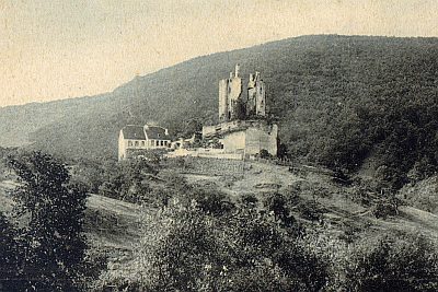 50 m
Vineyard Sites
Ehemaliger Weinanbau an der Burg Ramstein
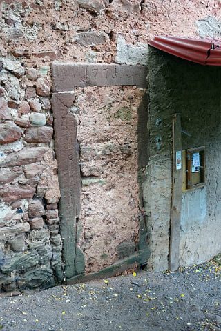 50 m
Prisons
Burg Ramstein - Ehemaliges Gefängnis
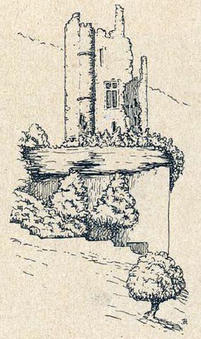 60 m
Caves
Felsschlupf unter der Burg Ramstein
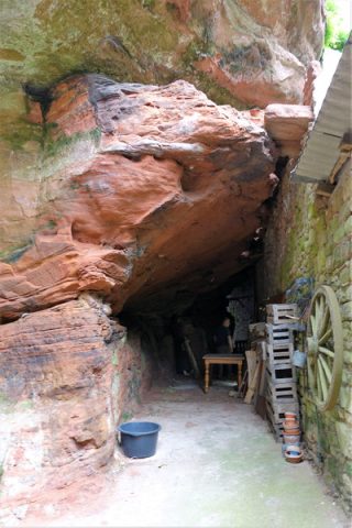 60 m
Castles
Burg Ramstein - Untermauerung des Burgfelsens
 60 m
Chartered Towns
Stadtrechte Burg Ramstein
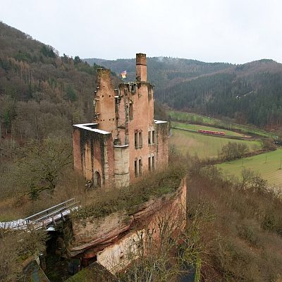 60 m
Castles
Burg Ramstein
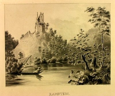 70 m
Castles
Denkmalzone Burg Ramstein
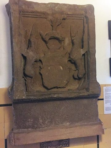 80 m
Castles