Rocks · Undated
Heidefels


© GeoBasis-DE / LVermGeoRP, dl-de/by-2-0
There is no picture of this object yet. Do you have a photo that you would like to make available to the Kulturdatenbank? Submit a picture
Classification
- Subject area
- Natural Features
- Category
- Rocks
- Date
- Undatiert
- Period
- Undated
Location
- District
- Bernkastel-Wittlich
- Collective municipality
- Thalfang am Erbeskopf
- Municipality
- Horath
- Field name
- Harpelstein
- Coordinates
- WGS 84: 49.824820, 6.955170 (Position: exact) WGS 84: 49° 49′ 29.4″ N, 6° 57′ 18.6″ E UTM 32 (ETRS89): E 352926 · N 5521159
Sources
Data sources
- [1] Preußische Kartenaufnahme 1:25000 Uraufnahme (1843-1878), Blatt.: 3457, Neumagen von 1850, © GeoBasis-DE / LVermGeoRP 2016, dl-de/by-2-0, www.lvermgeo.rlp.de
On the internet
Last edited: 20 Nov 2017 Object ID: 45777
https://kulturdb.de/en/objekt/45777-horath-heidefels
Nearby
The nearest objects
No picture
800 m
Mills
Ehemalige Papiermühle im Dhrontal
No picture
880 m
Chapels
Wegekapelle
No picture
950 m
Rocks
Felsformation Kumper Felsen
No picture
980 m
Field Names
Unter der Held
 1.2 km
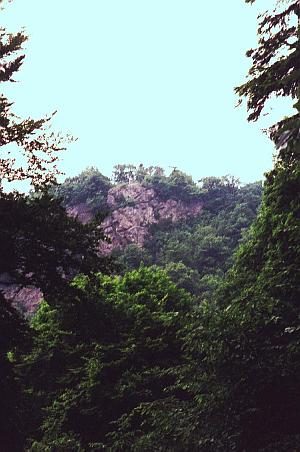
Ridge-Edge Castles
Befestigungsanlage Harpelstein
 1.2 km
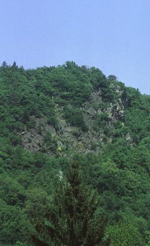
Quartzite Rocks
Harpelstein
1.2 km
Quartzite Rocks
Harpelstein
No picture
1.3 km
Field Names