Burial Mounds · Early Middle Ages / Romanesque
Fränkisches Gräberfeld
- Listed monument


© GeoBasis-DE / LVermGeoRP, dl-de/by-2-0
There is no picture of this object yet. Do you have a photo that you would like to make available to the Kulturdatenbank? Submit a picture
Classification
- Subject area
- Archaeological Monuments
- Category
- Burials
- Object type
- Burial Mounds
- Date
- Circa 500 nach Chr. bis circa 1220
Location
- District
- Trier-Saarburg
- Collective municipality
- Trier-Land
- Municipality
- Newel
- Locality / location
- Butzweiler
- Field name
- Obere Brühl
- Coordinates
- WGS 84: 49.816010, 6.584000 (Position: exact) WGS 84: 49° 48′ 57.6″ N, 6° 35′ 02.4″ E UTM 32 (ETRS89): E 326201 · N 5520974
Sources
Data sources
- [1] Fundkarte des südlichen Langmauerbezirks. Auszug aus den Mtbl. Welschbillig 6105 und Trier 6205. In: Trierer Zeitschrift für Geschichte und Kunst des Trierer Landes und seiner Nachbargebiete. Hrsg. Rheinisches Landesmuseum Trier; 34. Jahrgang, 1971. Paulinus Verlag. www.landesmuseum-trier-shop.de
On the internet
Last edited: 16 Nov 2011 Object ID: 45782
https://kulturdb.de/en/objekt/45782-newel-fraenkisches-graeberfeld
Nearby
The nearest objects
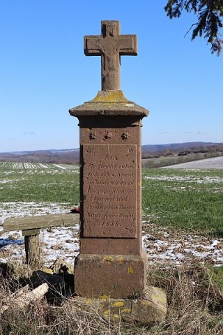 40 m
Wayside Shrines and Stations of the Cross
Wegekreuz nördlich der Ortslage
 150 m
Settlements
Römische Siedlungsstelle
No picture
200 m
Field Names
Kirchborn
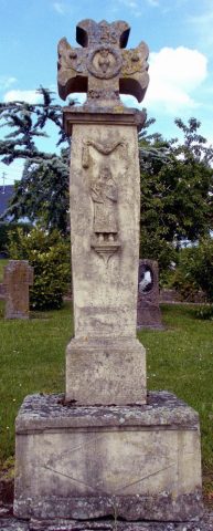 240 m
Wayside Shrines and Stations of the Cross
Matthiaskreuz
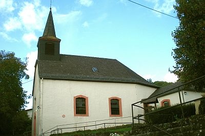 260 m
Catholic Churches
Sankt Klemens
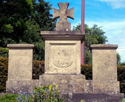 280 m
War Memorials
Kriegerdenkmal
290 m
Settlements
Römische Siedlung
No picture
310 m
Wayside Shrines and Stations of the Cross