Vineyard Sites · Historicism / Art Nouveau
Halsberg


© GeoBasis-DE / LVermGeoRP, dl-de/by-2-0
There is no picture of this object yet. Do you have a photo that you would like to make available to the Kulturdatenbank? Submit a picture
Classification
- Subject area
- History
- Category
- Vineyard Sites
- Date
- 1897
Location
- District
- Bernkastel-Wittlich
- Town
- Traben-Trarbach
- Locality / location
- Trarbach
- Field name
- Halsberg
- Coordinates
- WGS 84: 49.941360, 7.111260 (Position: exact) WGS 84: 49° 56′ 28.9″ N, 7° 06′ 40.5″ E UTM 32 (ETRS89): E 364479 · N 5533821
Sources
Data sources
- [1] Mosel-Weinbau-Karte für den Regierungsbezirk Coblenz, 1897 / bearb. von Eduard Markworth. Koblenz, 1908. https://www.dilibri.de/rlb/content/titleinfo/100263
On the internet
Last edited: 27 Nov 2017 Object ID: 45857
https://kulturdb.de/en/objekt/45857-traben-trarbach-halsberg
Nearby
The nearest objects
No picture
140 m
Town Houses and Commercial Buildings
Villa
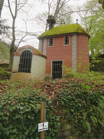 180 m
Chapels
Kapelle
No picture
210 m
Schools
Sogenanntes Alumnat
No picture
240 m
Vineyard Sites
Schloßberg
No picture
240 m
Mills
Ehemalige Gerhards-Mühle am Kautenbach
No picture
290 m
Town Houses and Commercial Buildings
Wohnhaus
No picture
330 m
Field Names
Vorn im Vohl
No picture
340 m
Manorial Residences and Estate Buildings