Vineyard Sites · Historicism / Art Nouveau
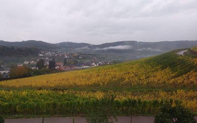
Herrenberg


Classification
- Subject area
- History
- Category
- Vineyard Sites
- Date
- 1868
Location
- District
- Trier-Saarburg
- Collective municipality
- Konz
- Municipality
- Wawern (Trier-Saarburg)
- Locality / location
- Wawern
- Field name
- Beim Jesuitenberg
- Coordinates
- WGS 84: 49.657110, 6.557730 (Position: exact) WGS 84: 49° 39′ 25.6″ N, 6° 33′ 27.8″ E UTM 32 (ETRS89): E 323737 · N 5503372
Sources
Data sources
- [1] Weinbaukarte Saar-Mosel für den Regierungsbezirk Trier, Clotten 1868. http://www.stadtbibliothek-weberbach.de/shop/reproduktionen/weinbau…
On the internet
Picture credits
Last edited: 11 Dec 2023 Object ID: 45903
https://kulturdb.de/en/objekt/45903-wawern-trier-saarburg-herrenberg
Nearby
The nearest objects
 50 m
Biodiversity Hotspot
Wawerner Jesuitenberg
No picture
200 m
Field Names
Im Wehrberg
 210 m
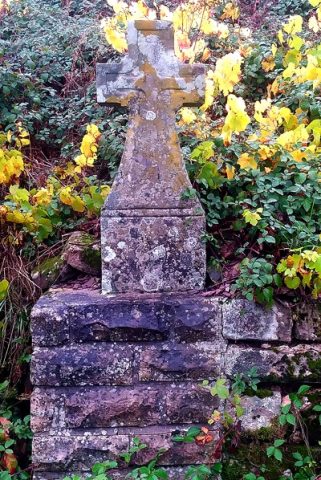
Wayside Shrines and Stations of the Cross
Wegekreuz
No picture
220 m
Viewpoints
Aussichtspunkt Werberg
 290 m
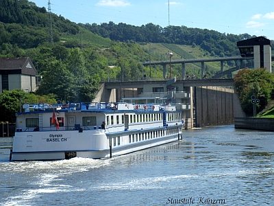
Shipping
Staustufe Kanzem
No picture
300 m
Vineyard Sites
Bei der Wawerner Weinbergsheck
No picture
330 m
Ferries
Ehemalige Saarfähre
No picture
410 m
Viewpoints