Vineyard Sites · Historicism / Art Nouveau
Vollmühl

Classification
- Subject area
- History
- Category
- Vineyard Sites
- Date
- 1868
Location
- District
- City of Trier
- Collective municipality
- Verbandsfreie Gemeinde Trier
- Town
- Trier
- Locality / location
- Olewig
- Street
- Riesling Weinstraße
- Field name
- Bei der Vollmühle
- Coordinates
- WGS 84: 49.744610, 6.655280 (Position: exact) WGS 84: 49° 44′ 40.6″ N, 6° 39′ 19.0″ E UTM 32 (ETRS89): E 331080 · N 5512874
Sources
Data sources
- [1] Weinbaukarte Saar-Mosel für den Regierungsbezirk Trier, Clotten 1868. http://www.stadtbibliothek-weberbach.de/shop/reproduktionen/weinbau…
On the internet
de.wikipedia.org/wiki/Trier-Olewig
Picture credits
- Picture 1: © Michael Grün, Trier, 2021.
Last edited: 19 Jan 2021 Object ID: 45919
https://kulturdb.de/en/objekt/45919-trier-vollmuehl
Nearby
The nearest objects
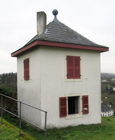 40 m
Farmhouses and Farm Buildings
Olewiger Weinbergshäuschen
No picture
180 m
Vineyard Sites
Neuberg
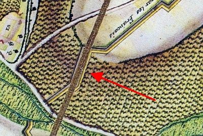 190 m
Entrenchments
Ehemalige Schanze
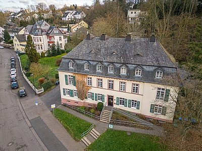 190 m
Schools
Ehemalige Landfrauenschule
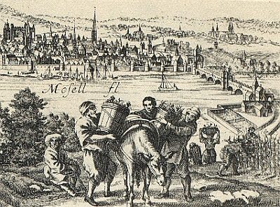 200 m
Vineyard Sites
Bischofsgrube
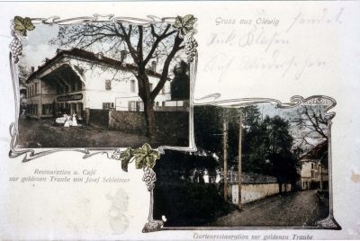 230 m
Town Houses and Commercial Buildings
Ehemaliges Bürgerhaus Olewigerstraße 113
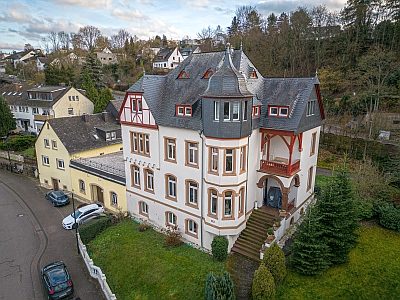 230 m
Town Houses and Commercial Buildings
Villa
280 m
Vineyard Sites