Vineyard Sites · Historicism / Art Nouveau
Wiedengraben


© GeoBasis-DE / LVermGeoRP, dl-de/by-2-0
There is no picture of this object yet. Do you have a photo that you would like to make available to the Kulturdatenbank? Submit a picture
Description
This description is only available in German.
Translate with Google opens this page in Google Translate (external service)
Graben – Geländeeinschnitt, Tal oder Senke. Auch Gräben zur Bewässerung von Wiesen oder der Wasserversorgung der Mühlen. [2]
Classification
- Subject area
- History
- Category
- Vineyard Sites
- Date
- 1868
Location
- District
- Bernkastel-Wittlich
- Collective municipality
- Bernkastel-Kues
- Municipality
- Graach an der Mosel
- Locality / location
- Petrushof
- Field name
- Am Widdengraben
- Coordinates
- WGS 84: 49.929330, 7.067310 (Position: exact) WGS 84: 49° 55′ 45.6″ N, 7° 04′ 02.3″ E UTM 32 (ETRS89): E 361291 · N 5532564
Sources
Data sources
- [1] Weinbaukarte Saar-Mosel für den Regierungsbezirk Trier, Clotten 1868. http://www.stadtbibliothek-weberbach.de/shop/reproduktionen/weinbau…
- [2] Redaktion
On the internet
Last edited: 27 Jan 2020 Object ID: 45947
https://kulturdb.de/en/objekt/45947-graach-an-der-mosel-wiedengraben
Nearby
The nearest objects
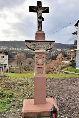 100 m
Wayside Shrines and Stations of the Cross
Kreuzigungsbildstock
Vineyard Sites
Himmelreich
Field Names
Bocksborn
Vineyard Sites
Tirlei
Vineyard Sites
Homberg
Wayside Shrines and Stations of the Cross
Wegekreuz
Vineyard Sites
Stablei
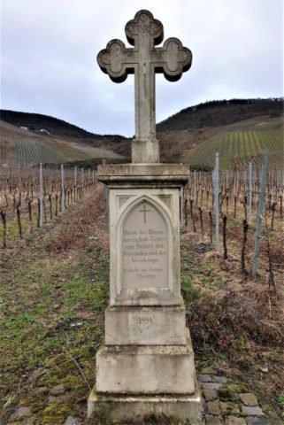 350 m
Wayside Shrines and Stations of the Cross