Vineyard Sites · Historicism / Art Nouveau
Kammer


Classification
- Subject area
- History
- Category
- Vineyard Sites
- Date
- 1868
Location
- District
- Bernkastel-Wittlich
- Collective municipality
- Bernkastel-Kues
- Municipality
- Brauneberg
- Field name
- In der Kammer
- Coordinates
- WGS 84: 49.912820, 6.984350 (Position: exact) WGS 84: 49° 54′ 46.2″ N, 6° 59′ 03.7″ E UTM 32 (ETRS89): E 355288 · N 5530886
Sources
Data sources
- [1] Weinbaukarte Saar-Mosel für den Regierungsbezirk Trier, Clotten 1868. http://www.stadtbibliothek-weberbach.de/shop/reproduktionen/weinbau…
On the internet
Picture credits
Last edited: 28 Nov 2024 Object ID: 45968
https://kulturdb.de/en/objekt/45968-brauneberg-kammer
Nearby
The nearest objects
No picture
100 m
Viewpoints
Aussichtspunkt
No picture
150 m
Field Names
Hinterm Hasenläufer
No picture
210 m
Vineyard Sites
Hasenläufer
No picture
220 m
Field Names
Im Hasenläufer
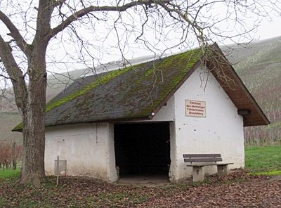 280 m
Ferries
Fährhaus der ehemaligen Moselfähre Brauneberg
No picture
360 m
Ferries
Ehemalige Moselfähre
No picture
410 m
Farmhouses and Farm Buildings
Wohnhaus
No picture
440 m
Farmhouses and Farm Buildings