Vineyard Sites · Historicism / Art Nouveau
Hödlai


© GeoBasis-DE / LVermGeoRP, dl-de/by-2-0
There is no picture of this object yet. Do you have a photo that you would like to make available to the Kulturdatenbank? Submit a picture
Classification
- Subject area
- History
- Category
- Vineyard Sites
- Date
- 1868
Location
- District
- Bernkastel-Wittlich
- Collective municipality
- Bernkastel-Kues
- Municipality
- Erden
- Field name
- Auf der Hödlei
- Coordinates
- WGS 84: 49.980030, 7.035180 (Position: exact) WGS 84: 49° 58′ 48.1″ N, 7° 02′ 06.6″ E UTM 32 (ETRS89): E 359134 · N 5538260
Sources
Data sources
- [1] Weinbaukarte Saar-Mosel für den Regierungsbezirk Trier, Clotten 1868. http://www.stadtbibliothek-weberbach.de/shop/reproduktionen/weinbau…
On the internet
Last edited: 6 Dec 2017 Object ID: 45979
https://kulturdb.de/en/objekt/45979-erden-hoedlai
Nearby
The nearest objects
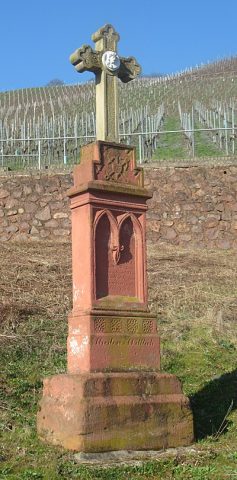 130 m
Wayside Shrines and Stations of the Cross
Pfeilerschaftkreuz / Schrifttafel
No picture
200 m
Field Names
Im Gemeinderech
No picture
220 m
Vineyard Sites
Buslai
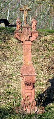 260 m
Wayside Shrines and Stations of the Cross
Kreuzigungsbildstock
No picture
270 m
Vineyard Sites
Kribslai
No picture
320 m
Field Names
Flickrech
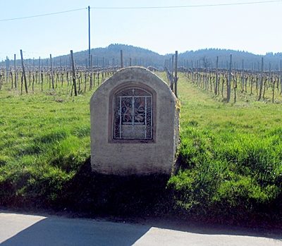 330 m
Wayside Shrine Houses
Heiligenhäuschen östlich der Ortslage
No picture
460 m
Vineyard Sites