Field Names · Undated
Kirchenflur


© GeoBasis-DE / LVermGeoRP, dl-de/by-2-0
There is no picture of this object yet. Do you have a photo that you would like to make available to the Kulturdatenbank? Submit a picture
Description
This description is only available in German.
Translate with Google opens this page in Google Translate (external service)
Kirche – Als Bestimmungswort 'der Kirche benachbart' oder 'der Kirche gehörig'. Die Zusammensetzungen Kirchberg, -feld, -driesch, -kamp und ähnliche können auch die Bedeutung Kirchhof, Friedhof haben. [1]
Classification
- Subject area
- History
- Category
- Field Names
- Date
- Undatiert
- Period
- Undated
Location
- District
- Trier-Saarburg
- Collective municipality
- Schweich an der römischen Weinstraße
- Municipality
- Mehring
- Field name
- Kirchenflur
- Coordinates
- WGS 84: 49.776879, 6.858348 (Position: exact) WGS 84: 49° 46′ 36.8″ N, 6° 51′ 30.1″ E UTM 32 (ETRS89): E 345811 · N 5516024
Sources
Data sources
- [1] Dittmaier, Heinrich: Rheinische Flurnamen. Ludwig Röhrscheid Verlag, Bonn, 1963.
On the internet
Last edited: 2 Jan 2018 Object ID: 46290
https://kulturdb.de/en/objekt/46290-mehring-kirchenflur
Nearby
The nearest objects
Execution Sites
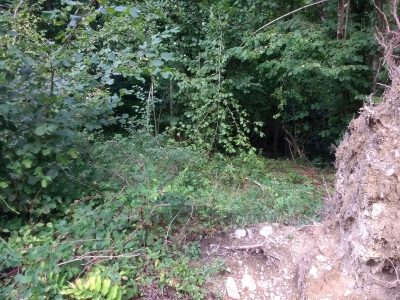
Hochgericht
 610 m
Standing Stones, Menhirs
Menhir Stein von Büdlich
Wayside Shrines and Stations of the Cross
Wegekreuz beim Jagdhaus Ginsterheld
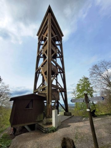 1.0 km
Observation Towers
Aussichtsturm Fünf-Seen-Blick
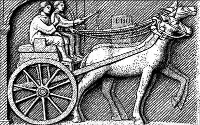 1.1 km
Road Transport
Spuren einer Römerstraße
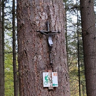 1.1 km
Wayside Shrines and Stations of the Cross
Wegekreuz
 1.4 km
Extraction and Processing of Raw Materials
Erkundungsstollen
Wayside Shrines and Stations of the Cross