Field Names · Undated
Unterm Kirchgraben


© GeoBasis-DE / LVermGeoRP, dl-de/by-2-0
There is no picture of this object yet. Do you have a photo that you would like to make available to the Kulturdatenbank? Submit a picture
Description
This description is only available in German.
Translate with Google opens this page in Google Translate (external service)
Kirche – Als Bestimmungswort 'der Kirche benachbart' oder 'der Kirche gehörig'. Die Zusammensetzungen Kirchberg, -feld, -driesch, -kamp und ähnliche können auch die Bedeutung Kirchhof, Friedhof haben. [1]
Graben – Geländeeinschnitt, Tal oder Senke. Auch Gräben zur Bewässerung von Wiesen oder der Wasserversorgung der Mühlen. [2]
Classification
- Subject area
- History
- Category
- Field Names
- Date
- Undatiert
- Period
- Undated
Location
- District
- Trier-Saarburg
- Collective municipality
- Trier-Land
- Municipality
- Aach
- Street
- Beßlicher Straße
- Field name
- Unterm Kirchgraben
- Coordinates
- WGS 84: 49.791322, 6.595047 (Position: exact) WGS 84: 49° 47′ 28.8″ N, 6° 35′ 42.2″ E UTM 32 (ETRS89): E 326908 · N 5518204
Sources
Data sources
- [1] Dittmaier, Heinrich: Rheinische Flurnamen. Ludwig Röhrscheid Verlag, Bonn, 1963.
- [2] Redaktion
On the internet
Last edited: 27 Jan 2020 Object ID: 46401
https://kulturdb.de/en/objekt/46401-aach-unterm-kirchgraben
Nearby
The nearest objects
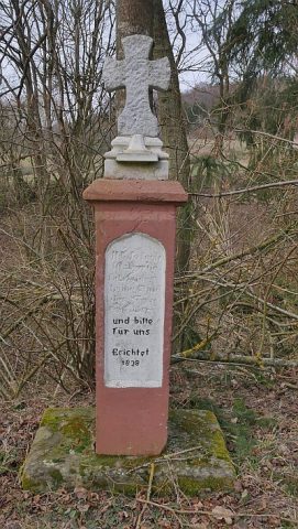 130 m
Wayside Shrines and Stations of the Cross
Pfeilerkreuz nahe dem alten Kirchhof
Field Names
Auf dem Kirchgraben
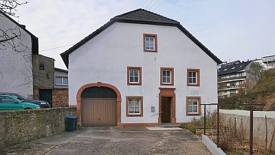 240 m
Farmhouses and Farm Buildings
Wohnhaus
 250 m
Settlements
Römische Siedlung
 290 m
Orchid Sites
Orchideengebiet bei Aach
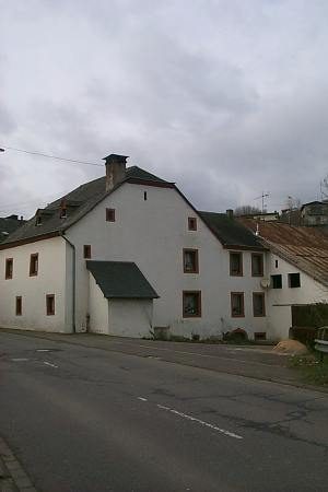 340 m
Farmhouses and Farm Buildings
Hofanlage
Monastic Complexes
Ehemaliges Kloster vom Guten Hirten
Burial Mounds