Vineyard Sites · 21st Century
Reinig auf der Burg


© GeoBasis-DE / LVermGeoRP, dl-de/by-2-0
There is no picture of this object yet. Do you have a photo that you would like to make available to the Kulturdatenbank? Submit a picture
Classification
- Subject area
- History
- Category
- Vineyard Sites
- Date
- 2018
- Period
- 21st Century
Location
- District
- Trier-Saarburg
- Collective municipality
- Konz
- Municipality
- Wasserliesch
- Street
- Hauptstraße
- Field name
- Ortslage
- Coordinates
- WGS 84: 49.707090, 6.543260 (Position: exact) WGS 84: 49° 42′ 25.5″ N, 6° 32′ 35.7″ E UTM 32 (ETRS89): E 322874 · N 5508962
Sources
Data sources
- [1] Einzellagen Rheinland-Pfalz lt. Weinbergsrolle der Landwirtschaftskammer Rheinland-Pfalz. WMS-Dienst Geoporal Rheinland-Pfalz. Datenlizenz Deutschland – Namensnennung – Version 2.0 (2017).
On the internet
Last edited: 1 Jan 2018 Object ID: 46507
https://kulturdb.de/en/objekt/46507-wasserliesch-reinig-auf-der-burg
Nearby
The nearest objects
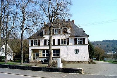 80 m
Schools
Ehemalige Schule
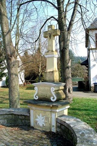 100 m
Altars
Altarkreuz
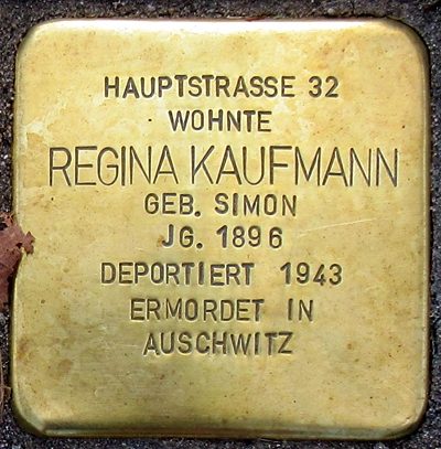 100 m
Stolpersteine (Stumbling Stones)
Stolperstein für Regina Kaufmann
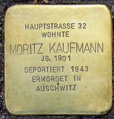 100 m
Stolpersteine (Stumbling Stones)
Stolperstein für Moritz Kaufmann
 100 m
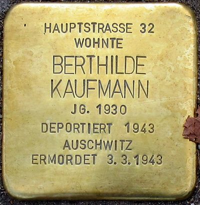
Stolpersteine (Stumbling Stones)
Stolperstein für Berthilde Kaufmann
 140 m
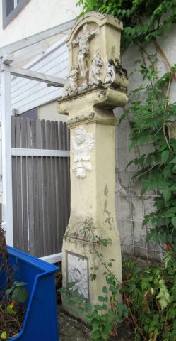
Wayside Shrines and Stations of the Cross
Kreuzigungsbildstock
No picture
200 m
Vineyard Sites
Reinig auf der Burg
No picture
260 m
Field Names