Observation Towers · 20th Century
Ehemaliger Aussichtsturm


© GeoBasis-DE / LVermGeoRP, dl-de/by-2-0
There is no picture of this object yet. Do you have a photo that you would like to make available to the Kulturdatenbank? Submit a picture
Description
This description is only available in German.
Translate with Google opens this page in Google Translate (external service)
Beim Höhenpunkt 571.6 m. ü. NHN. [1]
Classification
- Subject area
- Architectural and Art Monuments
- Category
- Viewpoints
- Object type
- Observation Towers
- Date
- 1951
- Period
- 20th Century
Location
- District
- Eifelkreis Bitburg-Prüm
- Town
- Prüm
- Field name
- Auf dem Burgring
- Coordinates
- WGS 84: 50.216860, 6.424280 (Position: exact) WGS 84: 50° 13′ 00.7″ N, 6° 25′ 27.4″ E UTM 32 (ETRS89): E 316249 · N 5565918
Sources
Data sources
- [1] TK25 Prüm. Reichsamt für Landesaufnahme (Deutschland / Army Map Service, Corps of Engineers (USA) / War Office (Großbritannien) / Service Géographique des F.F.A. (Frankreich), 1951.
On the internet
Last edited: 7 Oct 2003 Object ID: 46631
https://kulturdb.de/en/objekt/46631-pruem-ehemaliger-aussichtsturm
Nearby
The nearest objects
 40 m
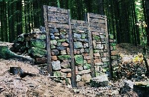
Ring Forts
Auf dem Burgring
Ring Forts
Keltenring - Ringwall
 210 m
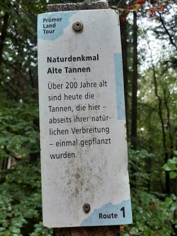
Firs
Ehemalige Weisstannen nördlich Burgring
Forester's Lodges
Forstamt Schneifel
Town Houses and Commercial Buildings
Villa
Extraction and Processing of Raw Materials
Ehemaliger Steinbruch
Wayside Shrines and Stations of the Cross
Aufsatz eines Kreuzigungsbildstocks
Field Names