Field Names · Historicism / Art Nouveau
Im Born


© GeoBasis-DE / LVermGeoRP, dl-de/by-2-0
There is no picture of this object yet. Do you have a photo that you would like to make available to the Kulturdatenbank? Submit a picture
Classification
- Subject area
- History
- Category
- Field Names
- Date
- 1862
Location
- District
- Trier-Saarburg
- Collective municipality
- Saarburg-Kell
- Municipality
- Mannebach (Trier-Saarburg)
- Locality / location
- Mannebach
- Street
- Kirchstraße
- Field name
- Im Born
- Coordinates
- WGS 84: 49.633260, 6.506100 (Position: exact) WGS 84: 49° 37′ 59.7″ N, 6° 30′ 22.0″ E UTM 32 (ETRS89): E 319923 · N 5500843
Sources
Data sources
- [1] Katasterübersichtskarten Kümmern und Mannebach (Kreis Trier-Saarburg) von 1862.
On the internet
Last edited: 1 Feb 2018 Object ID: 46643
https://kulturdb.de/en/objekt/46643-mannebach-trier-saarburg-im-born
Nearby
The nearest objects
No picture
10 m
Field Names
Im Born
No picture
50 m
Field Names
Im Dellfeld
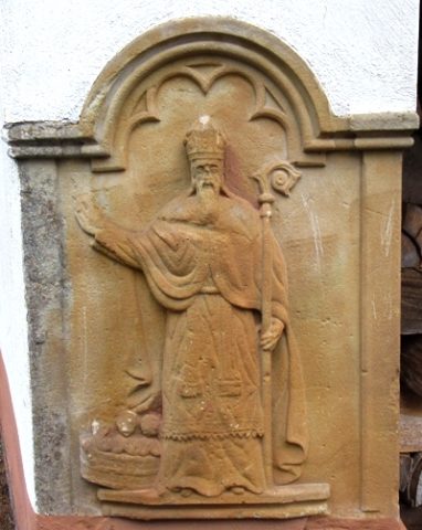 50 m
Wayside Shrines and Stations of the Cross
Sandsteinrelief an Hauswand
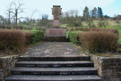 70 m
War Memorials
Kreuz am Kriegerehrenmal
 70 m
Wayside Shrines and Stations of the Cross
Kruzifix am Kümmerner Weg
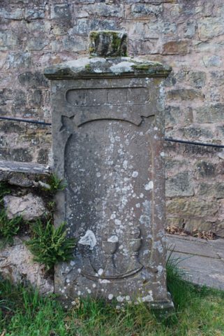 70 m
Wayside Shrines and Stations of the Cross
Kreuz am Aufgang zum oberen Friedhof
 70 m
Wayside Shrines and Stations of the Cross
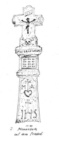
Ehemaliges Schaftkreuz auf dem Friedhof
 70 m
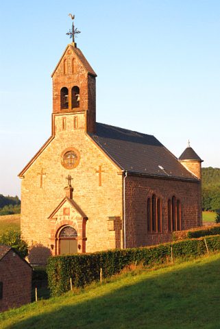
Catholic Churches