Viewpoints · Undated
Aussichtspunkt Klause Kastel


© GeoBasis-DE / LVermGeoRP, dl-de/by-2-0
There is no picture of this object yet. Do you have a photo that you would like to make available to the Kulturdatenbank? Submit a picture
Classification
- Subject area
- Natural Features
- Category
- Viewpoints
- Date
- Undatiert
- Period
- Undated
Location
- District
- Trier-Saarburg
- Collective municipality
- Saarburg-Kell
- Municipality
- Kastel-Staadt
- Field name
- Klause
- Coordinates
- WGS 84: 49.568078, 6.570778 (Position: exact) WGS 84: 49° 34′ 05.1″ N, 6° 34′ 14.8″ E UTM 32 (ETRS89): E 324358 · N 5493444
Sources
Data sources
- [1] TopPlus-Web-Open. Bundesamt für Kartographie und Geodäsie, 2018.
On the internet
Last edited: 26 Nov 2025 Object ID: 46664
https://kulturdb.de/en/objekt/46664-kastel-staadt-aussichtspunkt-klause-kastel
Nearby
The nearest objects
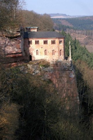 less than 10 m
Hermitages
Sogenannte Schinkel-Klause
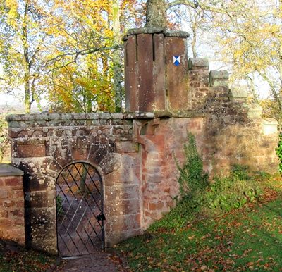 less than 10 m
Hermitages
Sogenannte Schinkel-Klause - Eingangsportal
No picture
40 m
Viewpoints
Aussichtspunkt Klause Kastel
No picture
50 m
Viewpoints
Aussichtspunkt Klause Kastel
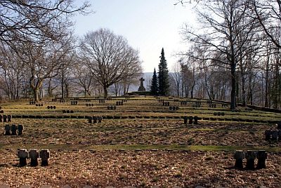 80 m
War Cemeteries
Ehrenfriedhof Kastel-Staadt
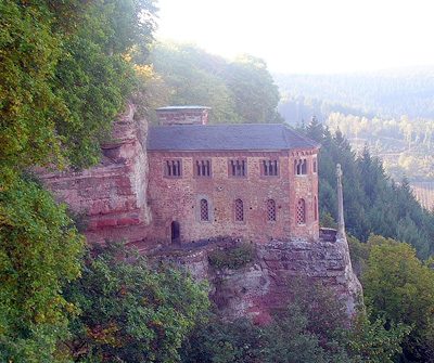 90 m
Viewpoints
Aussichtspunkt am Ehrenfriedhof Klause Kastel
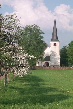 100 m
Catholic Churches
Ehemalige Kirche
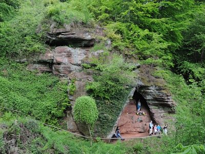 140 m
Works of Art