Road Transport · Celtic / Roman Period
Spuren einer Römerstraße
- Listed monument


Classification
- Subject area
- Archaeological Monuments
- Category
- Economy, Trade and Transport
- Object type
- Road Transport
- Date
- Circa 500 vor Chr. bis circa 500 nach Chr.
- Period
- Celtic / Roman Period
Location
- District
- Eifelkreis Bitburg-Prüm
- Collective municipality
- Bitburger Land
- Municipality
- Burbach
- Field name
- Kyllwald
- Coordinates
- WGS 84: 50.128193, 6.544637 (Position: exact) WGS 84: 50° 07′ 41.5″ N, 6° 32′ 40.7″ E UTM 32 (ETRS89): E 324509 · N 5555771
Sources
Data sources
- [1] Digitale TK25. Landesamt für Vermessung und Geobasisinformation Rheinland-Pfalz. 2001 (ISBN 3-89637-345-5)
On the internet
Straßenbau zur Römerzeit - Medienzentrum Daun
Picture credits
Last edited: 31 Mar 2016 Object ID: 4669
https://kulturdb.de/en/objekt/4669-burbach-spuren-einer-roemerstrasse
Nearby
The nearest objects
No picture
610 m
Peat Cuttings
Ehemaliger Torfstich
No picture
660 m
Field Names
Beim Katzenberg
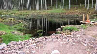 770 m
Peat Cuttings
Ehemaliger Torfstich
No picture
910 m
Peat Cuttings
Ehemaliger Torfstich
No picture
960 m
Field Names
Beim Katzenborn
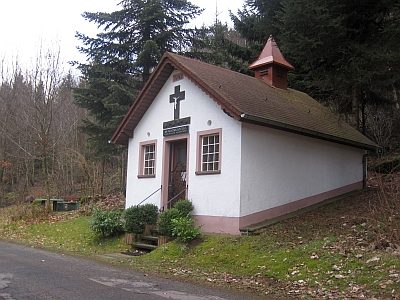 1.0 km
Chapels
Marienkapelle
No picture
1.0 km
Peat Cuttings
Ehemaliger Torf-Schuppen im Torffenn
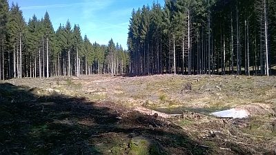 1.0 km
Raised Bogs