Field Names · Undated
Grundbirnstück


© GeoBasis-DE / LVermGeoRP, dl-de/by-2-0
There is no picture of this object yet. Do you have a photo that you would like to make available to the Kulturdatenbank? Submit a picture
Description
This description is only available in German.
Translate with Google opens this page in Google Translate (external service)
Grundbirne – Kartoffel; frihe (zeidige), späde, platte, blo, rode, weisse Gr., Jakobs-, Marmor-, Rosen-, Schweins-, Soldotegr., Weltwonnər, Kaiserkronen, Wetzsten, Kreikrämer (Krugkrämer), Bisquittcher, Weiss-ronnen Weiss-langen, Honsrecker, Kastelauner, Plackigen u. a. Kartoffelsorten. [...] [1]
Classification
- Subject area
- History
- Category
- Field Names
- Date
- Undatiert
- Period
- Undated
Location
- District
- Trier-Saarburg
- Collective municipality
- Ruwer
- Municipality
- Bonerath
- Field name
- Grundbirnstück
- Coordinates
- WGS 84: 49.695206, 6.765446 (Position: exact) WGS 84: 49° 41′ 42.7″ N, 6° 45′ 55.6″ E UTM 32 (ETRS89): E 338853 · N 5507140
Sources
Data sources
- [1] Rheinisches Wörterbuch. Bearb. und hrsg. von Josef Müller, ab Bd. VII von Karl Meisen, Heinrich Dittmaier und Matthias Zender. 9 Bde. Bonn und Berlin 1928-1971. Grund II bis Grundbirnenbauer (Bd. 2, Sp. 1456 bis 1461). http://www.woerterbuchnetz.de
On the internet
Last edited: 3 Mar 2018 Object ID: 46772
https://kulturdb.de/en/objekt/46772-bonerath-grundbirnstueck
Nearby
The nearest objects
Field Names
Hinterst Grundbirnstück
Field Names
Welferslochwald
Field Names
Ober Welferslochwies
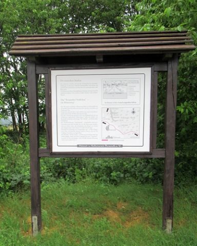 280 m
Road Transport
Bonerather Sträßchen (Römerweg)
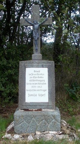 280 m
Wayside Shrines and Stations of the Cross
Wegekreuz
Field Names
Welferslochkopf
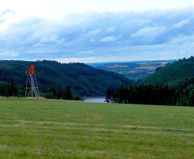 330 m
Viewpoints
Aussichtspunkt Schrodenfelder
Field Names