Field Names · Undated
Sauergrund


© GeoBasis-DE / LVermGeoRP, dl-de/by-2-0
There is no picture of this object yet. Do you have a photo that you would like to make available to the Kulturdatenbank? Submit a picture
Description
This description is only available in German.
Translate with Google opens this page in Google Translate (external service)
Grund – Bedeutung: 1. Talgrund, Niederung. 2. z.T. vielleicht: Wo viel Ackererde liegt. [1]
Classification
- Subject area
- History
- Category
- Field Names
- Date
- Undatiert
- Period
- Undated
Location
- District
- Eifelkreis Bitburg-Prüm
- Collective municipality
- Bitburger Land
- Municipality
- Baustert
- Field name
- Sauergrund
- Coordinates
- WGS 84: 49.985166, 6.371749 (Position: exact) WGS 84: 49° 59′ 06.6″ N, 6° 22′ 18.3″ E UTM 32 (ETRS89): E 311594 · N 5540292
Sources
Data sources
- [1] Dittmaier, Heinrich: Rheinische Flurnamen. Ludwig Röhrscheid Verlag, Bonn, 1963.
On the internet
Last edited: 3 Mar 2018 Object ID: 46943
https://kulturdb.de/en/objekt/46943-baustert-sauergrund
Nearby
The nearest objects
Field Names
Johannsdell
 320 m
Wayside Shrines and Stations of the Cross
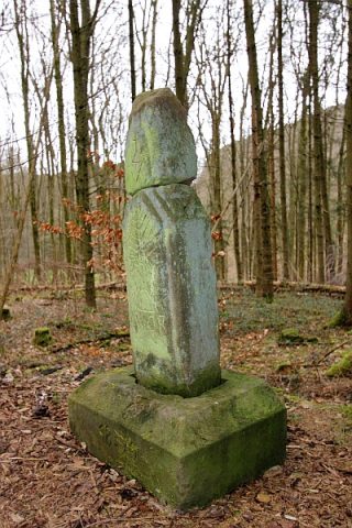
Stein aus der Zeit des Kulturkampfes in der Eifel
Field Names
Beim Gemahltenborn
Field Names
Beim Gemahltenborn
Field Names
Auf Hasenknapp
Wayside Shrines and Stations of the Cross
Wegekreuz
Field Names
Auf Herchendell
Place Names / Local History