Field Names · Undated
Oberm Peil auf dem Süß


© GeoBasis-DE / LVermGeoRP, dl-de/by-2-0
There is no picture of this object yet. Do you have a photo that you would like to make available to the Kulturdatenbank? Submit a picture
Classification
- Subject area
- History
- Category
- Field Names
- Date
- Undatiert
- Period
- Undated
Location
- District
- Trier-Saarburg
- Collective municipality
- Saarburg-Kell
- Municipality
- Schoden
- Field name
- Oberm Peil auf dem Süß
- Coordinates
- WGS 84: 49.628551, 6.578070 (Position: exact) WGS 84: 49° 37′ 42.8″ N, 6° 34′ 41.1″ E UTM 32 (ETRS89): E 325102 · N 5500150
Sources
Data sources
- [1] Dittmaier, Heinrich: Rheinische Flurnamen. Ludwig Röhrscheid Verlag, Bonn, 1963.
On the internet
Last edited: 14 May 2019 Object ID: 46946
https://kulturdb.de/en/objekt/46946-schoden-oberm-peil-auf-dem-suess
Nearby
The nearest objects
No picture
160 m
Fortresses and Bunkers
Westwall - Artillerie Beobachter-Stand
No picture
180 m
Fortresses and Bunkers
Westwall - Bunker
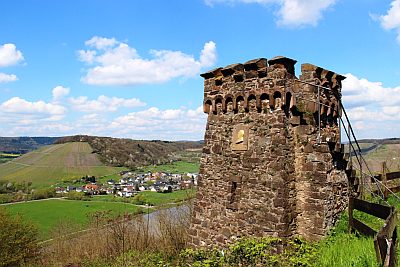 180 m
Viewpoints
Bismarckturm
No picture
210 m
Vineyard Sites
Unterm Peil die Steilwingerten
No picture
310 m
Viewpoints
Aussichtspunkt Schiffberg
No picture
320 m
Field Names
Auf dem Seifenborn
No picture
350 m
Vineyard Sites
Der neue Wingert im Collbüsch
No picture
380 m
Fortresses and Bunkers