Extraction and Processing of Raw Materials · 20th Century
Ehemaliger Steinbruch

Classification
- Subject area
- Architectural and Art Monuments
- Category
- Economy, Trade and Transport
- Object type
- Extraction and Processing of Raw Materials
- Date
- 1951
- Period
- 20th Century
Location
- District
- Eifelkreis Bitburg-Prüm
- Collective municipality
- Bitburger Land
- Municipality
- Neidenbach
- Locality / location
- Koppenweg
- Street
- Kopperweg
- Field name
- Ober dem Koperweg
- Coordinates
- WGS 84: 50.106330, 6.558890 (Position: exact) WGS 84: 50° 06′ 22.8″ N, 6° 33′ 32.0″ E UTM 32 (ETRS89): E 325448 · N 5553307
Sources
Data sources
- [1] TK25 Mürlenbach. Reichsamt für Landesaufnahme (Deutschland / Army Map Service, Corps of
- Engineers (USA) / War Office (Großbritannien) / Service Géographique des F.F.A. (Frankreich), 1951.
On the internet
Picture credits
- Picture 1: Bildarchiv Foto Marburg https://www.bildindex.de/document/obj20674604?medium=mi07524d05 (Ausschnitt)
Last edited: 15 Mar 2024 Object ID: 46999
https://kulturdb.de/en/objekt/46999-neidenbach-ehemaliger-steinbruch
Nearby
The nearest objects
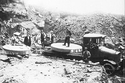 160 m
Extraction and Processing of Raw Materials
Ehemaliger Steinbruch
240 m
Extraction and Processing of Raw Materials
Steinbruch Über dem Koperweg
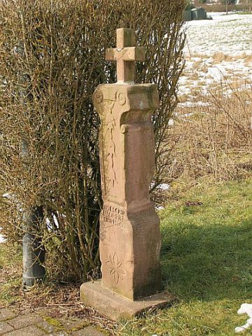 270 m
Wayside Shrines and Stations of the Cross
Barockes Schaftkreuz
No picture
300 m
Extraction and Processing of Raw Materials
Ehemaliger Steinbruch
No picture
380 m
Temples, Sanctuaries
Tempelanlage
No picture
390 m
Field Names
Unter dem Densborner Weg
510 m
Extraction and Processing of Raw Materials
Ehemaliger Steinbruch
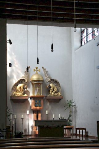 700 m
Altars