Extraction and Processing of Raw Materials · 20th Century
Ehemaliger Steinbruch


© GeoBasis-DE / LVermGeoRP, dl-de/by-2-0
There is no picture of this object yet. Do you have a photo that you would like to make available to the Kulturdatenbank? Submit a picture
Classification
- Subject area
- Architectural and Art Monuments
- Category
- Economy, Trade and Transport
- Object type
- Extraction and Processing of Raw Materials
- Date
- 1951
- Period
- 20th Century
Location
- District
- Eifelkreis Bitburg-Prüm
- Collective municipality
- Bitburger Land
- Municipality
- Sefferweich
- Field name
- In Dres
- Coordinates
- WGS 84: 50.094350, 6.540480 (Position: exact) WGS 84: 50° 05′ 39.7″ N, 6° 32′ 25.7″ E UTM 32 (ETRS89): E 324088 · N 5552018
Sources
Data sources
- [1] TK25 Kyllburg. Reichsamt für Landesaufnahme (Deutschland / Army Map Service, Corps of Engineers
- (USA) / War Office (Großbritannien) / Service Géographique des F.F.A. (Frankreich), 1951.
On the internet
Last edited: 8 Feb 2018 Object ID: 47010
https://kulturdb.de/en/objekt/47010-sefferweich-ehemaliger-steinbruch
Nearby
The nearest objects
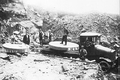 130 m
Extraction and Processing of Raw Materials
Ehemaliger Steinbruch
Extraction and Processing of Raw Materials
Ehemaliger Steinbruch am Dreeskopf
Extraction and Processing of Raw Materials
Ehemaliger Steinbruch am Dreeskopf
Field Names
Beim Kalkofen
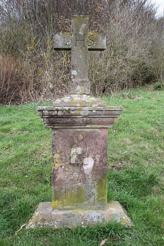 340 m
Wayside Shrines and Stations of the Cross
Bildstock oberhalb des Friedhofs
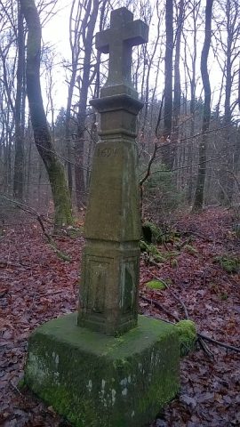 350 m
Wayside Shrines and Stations of the Cross
Schaftkreuz von 1694
Field Names
Ober der Langfuhr
Extraction and Processing of Raw Materials