Extraction and Processing of Raw Materials · 20th Century
Ehemaliger Steinbruch am Leiköppchen


Classification
- Subject area
- Architectural and Art Monuments
- Category
- Economy, Trade and Transport
- Object type
- Extraction and Processing of Raw Materials
- Date
- 1951
- Period
- 20th Century
Location
- District
- Eifelkreis Bitburg-Prüm
- Town
- Speicher
- Locality / location
- Laymühle
- Field name
- Laiknöpfchen
- Coordinates
- WGS 84: 49.949440, 6.628540 (Position: exact) WGS 84: 49° 56′ 58.0″ N, 6° 37′ 42.7″ E UTM 32 (ETRS89): E 329875 · N 5535705
Sources
Data sources
- [1] TK25 Bitburg. Reichsamt für Landesaufnahme (Deutschland / Army Map Service, Corps of Engineers
- (USA) / War Office (Großbritannien) / Service Géographique des F.F.A. (Frankreich), 1951.
On the internet
Last edited: 10 Dec 2014 Object ID: 47028
https://kulturdb.de/en/objekt/47028-speicher-ehemaliger-steinbruch-am-leikoeppchen
Nearby
The nearest objects
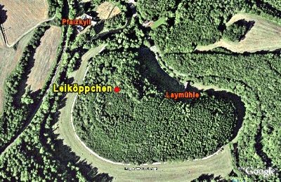 50 m
Ridge-Edge Castles
Leiköppchen
50 m
Ridge-Edge Castles
Leiköppchen (2)
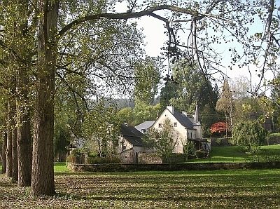 150 m
Place Names / Local History
Gut Pfalzkyll - Geschichte
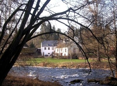 170 m
Place Names / Local History
Ortsname
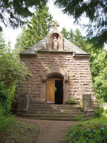 220 m
Chapels
Hofkapelle Gut Pfalzkyll - Außen
 220 m
Chapels
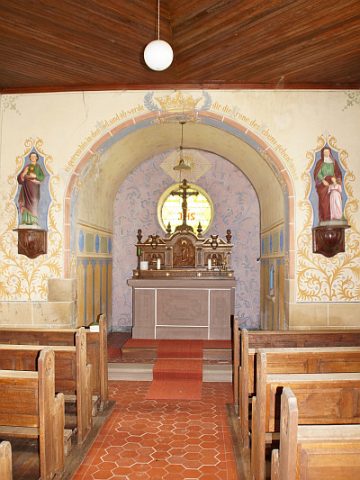
Hofkapelle Gut Pfalzkyll - Innen
 230 m
Farmhouses and Farm Buildings
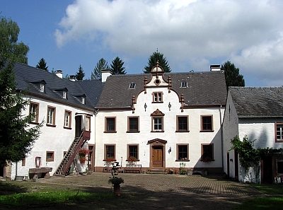
Gut Pfalzkyll
 230 m
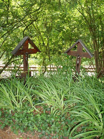
Wayside Shrines and Stations of the Cross