Extraction and Processing of Raw Materials · 20th Century
Ehemaliger Steinbruch


Classification
- Subject area
- Architectural and Art Monuments
- Category
- Economy, Trade and Transport
- Object type
- Extraction and Processing of Raw Materials
- Date
- 1951
- Period
- 20th Century
Location
- District
- Eifelkreis Bitburg-Prüm
- Town
- Speicher
- Field name
- Oben auf dem Weiher auf Leimetzseifen
- Coordinates
- WGS 84: 49.936810, 6.663750 (Position: exact) WGS 84: 49° 56′ 12.5″ N, 6° 39′ 49.5″ E UTM 32 (ETRS89): E 332356 · N 5534221
Sources
Data sources
- [1] TK25 Bitburg. Reichsamt für Landesaufnahme (Deutschland / Army Map Service, Corps of Engineers
- (USA) / War Office (Großbritannien) / Service Géographique des F.F.A. (Frankreich), 1951.
On the internet
vg-speicher.de/gemeinden/speicher
Picture credits
- Picture 1: Sammlung Wilhelm Schommer, Speicher, 2021.
- Picture 2: Sammlung Wilhelm Schommer, Speicher, 2021.
- Picture 3: Sammlung Wilhelm Schommer, Speicher, 2021.
- Picture 4: Sammlung Wilhelm Schommer, Speicher, 2021.
- Picture 5: Sammlung Wilhelm Schommer, Speicher, 2021.
- Picture 6: Sammlung Wilhelm Schommer, Speicher, 2021.
Last edited: 8 Feb 2018 Object ID: 47032
https://kulturdb.de/en/objekt/47032-speicher-ehemaliger-steinbruch
Nearby
The nearest objects
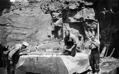 140 m
Extraction and Processing of Raw Materials
Ehemaliger Steinbruch
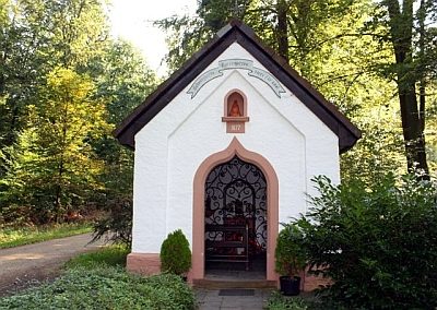 320 m
Chapels
Bildchenkapelle
350 m
Extraction and Processing of Raw Materials
Ehemaliger Steinbruch
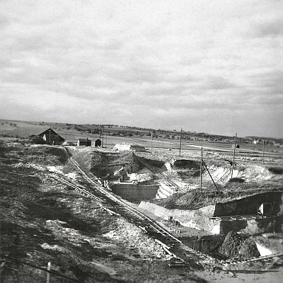 690 m
Extraction and Processing of Raw Materials
Ehemaliger Tonabbau
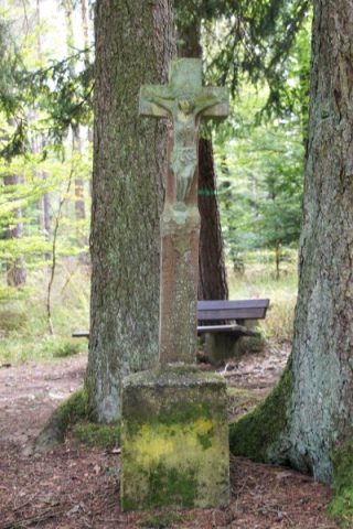 710 m
Wayside Shrines and Stations of the Cross
Schaftkreuz östlich der Bildchenkapelle
740 m
Extraction and Processing of Raw Materials
Ehemaliger Tonabbau
 830 m
Field Names
Thiergarten
No picture
900 m
Extraction and Processing of Raw Materials