Extraction and Processing of Raw Materials · Undated
Ehemalige Ziegelei


© GeoBasis-DE / LVermGeoRP, dl-de/by-2-0
There is no picture of this object yet. Do you have a photo that you would like to make available to the Kulturdatenbank? Submit a picture
Description
This description is only available in German.
Translate with Google opens this page in Google Translate (external service)
Die Ziegelei Niederprüm bestand von 1899 bis 1973 in der St. Vither Straße. Wolfs Familie erwarb sie 1940. An deren Namen erinnert die "Wolf'sche Siedlung", eine Gruppe von Wohnhäusern, die Mitte der 1950er Jahre gebaut wurde [2]
Classification
- Subject area
- Architectural and Art Monuments
- Category
- Economy, Trade and Transport
- Object type
- Extraction and Processing of Raw Materials
- Date
- Undatiert
- Period
- Undated
Location
- District
- Eifelkreis Bitburg-Prüm
- Town
- Prüm
- Locality / location
- Niederprüm
- Street
- Sankt-Vither-Straße 70
- Field name
- Im Herkensteg
- Coordinates
- WGS 84: 50.194280, 6.406980 (Position: exact) WGS 84: 50° 11′ 39.4″ N, 6° 24′ 25.1″ E UTM 32 (ETRS89): E 314927 · N 5563450
Sources
Data sources
- [1] TK25 Schönecken. Reichsamt für Landesaufnahme (Deutschland / Army Map Service, Corps of
- Engineers (USA) / War Office (Großbritannien) / Service Géographique des F.F.A. (Frankreich), 1951.
- [2] Trierischer Volksfreund. Https://www.volksfreund.de/region/pruem/unternehmer-heinrich-wolf-g…
On the internet
Last edited: 9 Feb 2018 Object ID: 47043
https://kulturdb.de/en/objekt/47043-pruem-ehemalige-ziegelei
Nearby
The nearest objects
 100 m
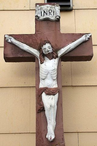
Wayside Shrines and Stations of the Cross
Schaftkreuz
Wayside Shrines and Stations of the Cross
Wegekreuz
Field Names
Auf dem Born
Field Names
Backespesch
Mills
Ehemalige Mühle
 270 m
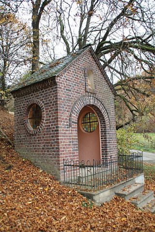
Chapels
Hauer-Kapelle
Field Names
Im Klosterpesch
Extraction and Processing of Raw Materials