Fords · 20th Century
Ehemalige Furt durch die Prüm


© GeoBasis-DE / LVermGeoRP, dl-de/by-2-0
There is no picture of this object yet. Do you have a photo that you would like to make available to the Kulturdatenbank? Submit a picture
Classification
- Subject area
- Architectural and Art Monuments
- Category
- Economy, Trade and Transport
- Object type
- Fords
- Date
- 1951
- Period
- 20th Century
Location
- District
- Eifelkreis Bitburg-Prüm
- Collective municipality
- Bitburger Land
- Municipality
- Oberweiler
- Field name
- [Prüm]
- Coordinates
- WGS 84: 50.050530, 6.419750 (Position: exact) WGS 84: 50° 03′ 01.9″ N, 6° 25′ 11.1″ E UTM 32 (ETRS89): E 315286 · N 5547438
Sources
Data sources
- [1] TK25 Waxweiler. Reichsamt für Landesaufnahme (Deutschland / Army Map Service, Corps of Engineers (USA) / War Office
- (Großbritannien) / Service Géographique des F.F.A. (Frankreich), 1951.
On the internet
Last edited: 9 Feb 2018 Object ID: 47046
https://kulturdb.de/en/objekt/47046-oberweiler-ehemalige-furt-durch-die-pruem
Nearby
The nearest objects
No picture
140 m
Cross-Ridge Ramparts
Überrest eines Abschnittsgrabens
No picture
270 m
Fords
Ehemalige Furt durch die Prüm
No picture
280 m
Fords
Ehemalige Furt durch die Prüm
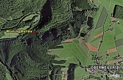 320 m
Deserted Settlements
Wüstung Beifels
No picture
540 m
Field Names
Auf der Sauerwies
No picture
620 m
Fossils
Fundstellen tierischer Versteinerungen
No picture
660 m
Field Names
Im Grund
No picture
800 m
Field Names