Vineyard Sites · 21st Century
Burg Warsberg


© GeoBasis-DE / LVermGeoRP, dl-de/by-2-0
There is no picture of this object yet. Do you have a photo that you would like to make available to the Kulturdatenbank? Submit a picture
Classification
- Subject area
- History
- Category
- Vineyard Sites
- Date
- 2018
- Period
- 21st Century
Location
- District
- Trier-Saarburg
- Collective municipality
- Saarburg-Kell
- Municipality
- Wincheringen
- Street
- Guxhagener Straße
- Field name
- Ortslage
- Coordinates
- WGS 84: 49.611830, 6.432580 (Position: exact) WGS 84: 49° 36′ 42.6″ N, 6° 25′ 57.3″ E UTM 32 (ETRS89): E 314533 · N 5498640
Sources
Data sources
- [1] Einzellagen Rheinland-Pfalz lt. Weinbergsrolle der Landwirtschaftskammer Rheinland-Pfalz. WMS-Dienst Geoporal Rheinland-Pfalz. Datenlizenz Deutschland – Namensnennung – Version 2.0 (2017).
On the internet
Last edited: 3 Mar 2018 Object ID: 47147
https://kulturdb.de/en/objekt/47147-wincheringen-burg-warsberg
Nearby
The nearest objects
No picture
260 m
Field Names
Im langen Bungert
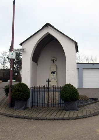 300 m
Chapels
Wegekapelle Leuckskreuz
No picture
320 m
Vineyard Sites
Burg Warsberg
No picture
360 m
Viewpoints
Aussichtspunkt Hüwelsberg
 390 m
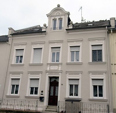
Farmhouses and Farm Buildings
Historistischer Streckhof
 390 m
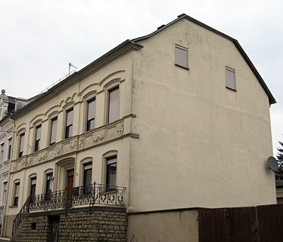
Farmhouses and Farm Buildings
Parallelhof
 400 m
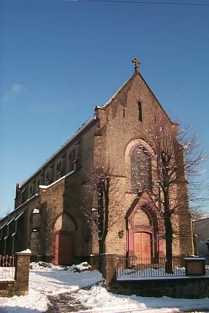
Catholic Churches
Sankt Peter
No picture
410 m
Wayside Shrine Houses