Place Names / Local History · Neoclassicism
Römische Reste bei Gut Haardt


© GeoBasis-DE / LVermGeoRP, dl-de/by-2-0
There is no picture of this object yet. Do you have a photo that you would like to make available to the Kulturdatenbank? Submit a picture
Description
This description is only available in German.
Translate with Google opens this page in Google Translate (external service)
[...] Haardt bestand im Jahre 1794 aus vier Hofhäusern, welche der Abtei Himmerod gehörten. [...] Die Haardter Höfe, in zwei Himmeroder Gütern bestehend, wurden am 21. Februar 1806 zu 12.300 Frs. (3280 Thlr.) verkauft. [1]
Classification
- Subject area
- History
- Category
- Place Names / Local History
- Date
- 1794
- Period
- Neoclassicism
Location
- District
- Bernkastel-Wittlich
- Collective municipality
- Wittlich-Land
- Municipality
- Altrich
- Locality / location
- Haardt
- Field name
- Ortslage
- Coordinates
- WGS 84: 49.943349, 6.895095 (Position: presumed) WGS 84: 49° 56′ 36.1″ N, 6° 53′ 42.3″ E UTM 32 (ETRS89): E 348976 · N 5534456
Sources
Data sources
- [1] Eiflia Illustrata oder geographische und historische Beschreibung der Eifel. Von
- Johann Friedrich Schannat: Aus dem lateinischen Manuscripte übersetzt und mit Anmerkungen und Zusätzen
- bereichert von Georg Bäsch. Königl. Preußisch. Geheimen Regierungsrathe und Rittmeister. Neudruck der Ausgabe 1855.
On the internet
Last edited: 27 Mar 2011 Object ID: 4717
https://kulturdb.de/en/objekt/4717-altrich-roemische-reste-bei-gut-haardt
Nearby
The nearest objects
Place Names / Local History
Ortsgeschichte Gut Haardt
 50 m
Chapels
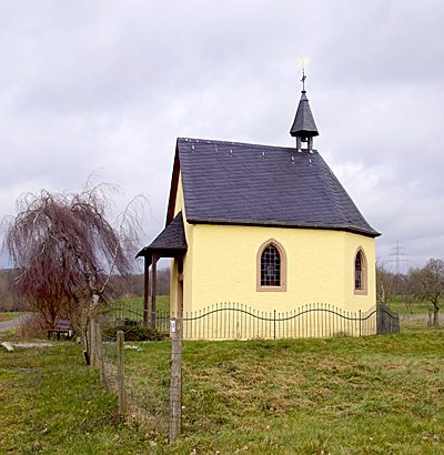
Kapelle am Gut Haardt
Field Names
Krummfuhr
Field Names
Breitwiese
 860 m
Oaks
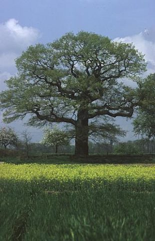
Aussichtspunkt Alte Eiche
860 m
Oaks
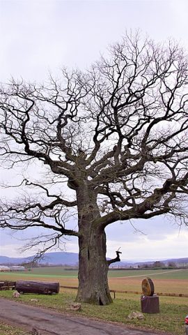
Alte Eiche
 860 m
Oaks
Alte Eiche mit Teufelsstein
Field Names