Vineyard Sites · 21st Century
Pilgerberg


© GeoBasis-DE / LVermGeoRP, dl-de/by-2-0
There is no picture of this object yet. Do you have a photo that you would like to make available to the Kulturdatenbank? Submit a picture
Classification
- Subject area
- History
- Category
- Vineyard Sites
- Date
- 2018
- Period
- 21st Century
Location
- District
- Trier-Saarburg
- Collective municipality
- Trier-Land
- Municipality
- Igel
- Locality / location
- Liersberg
- Field name
- Lischerberg
- Coordinates
- WGS 84: 49.717390, 6.529600 (Position: exact) WGS 84: 49° 43′ 02.6″ N, 6° 31′ 46.6″ E UTM 32 (ETRS89): E 321927 · N 5510139
Sources
Data sources
- [1] Einzellagen Rheinland-Pfalz lt. Weinbergsrolle der Landwirtschaftskammer Rheinland-Pfalz. WMS-Dienst Geoporal Rheinland-Pfalz. Datenlizenz Deutschland – Namensnennung – Version 2.0 (2017).
On the internet
Last edited: 15 Feb 2018 Object ID: 47176
https://kulturdb.de/en/objekt/47176-igel-pilgerberg
Nearby
The nearest objects
No picture
120 m
Field Names
Rothoos
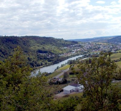 130 m
Viewpoints
Aussichtspunkt
No picture
140 m
Fortresses and Bunkers
Westwall - Maschinengewehr-Schartenstand
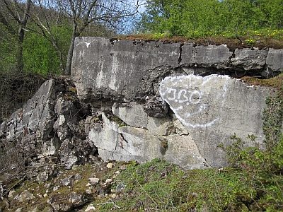 170 m
Fortresses and Bunkers
Westwall - Maschinengewehr-Schartenstand
 170 m
Fortresses and Bunkers
Westwall - Maschinengewehr-Schartenstand
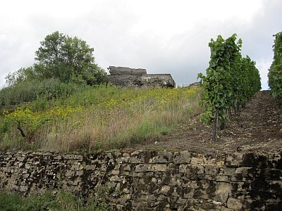 180 m
Fortresses and Bunkers
Westwall - Maschinengewehr-Schartenstand
No picture
190 m
Settlements
Römische Siedlungsstelle
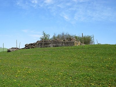 190 m
Fortresses and Bunkers