Vineyard Sites · 21st Century
Rosenberg


© GeoBasis-DE / LVermGeoRP, dl-de/by-2-0
There is no picture of this object yet. Do you have a photo that you would like to make available to the Kulturdatenbank? Submit a picture
Classification
- Subject area
- History
- Category
- Vineyard Sites
- Date
- 2018
- Period
- 21st Century
Location
- District
- Bernkastel-Wittlich
- Collective municipality
- Wittlich-Land
- Municipality
- Osann-Monzel
- Locality / location
- Am Rosenberg
- Street
- Am Rosenberg
- Field name
- Unter den Dählen
- Coordinates
- WGS 84: 49.935420, 6.942280 (Position: exact) WGS 84: 49° 56′ 07.5″ N, 6° 56′ 32.2″ E UTM 32 (ETRS89): E 352337 · N 5533480
Sources
Data sources
- [1] Einzellagen Rheinland-Pfalz lt. Weinbergsrolle der Landwirtschaftskammer Rheinland-Pfalz. WMS-Dienst Geoporal Rheinland-Pfalz. Datenlizenz Deutschland – Namensnennung – Version 2.0 (2017).
On the internet
Last edited: 20 Feb 2018 Object ID: 47298
https://kulturdb.de/en/objekt/47298-osann-monzel-rosenberg
Nearby
The nearest objects
No picture
140 m
Vineyard Sites
Rosenberg
No picture
860 m
Viewpoints
Aussichtspunkt
No picture
950 m
Field Names
Deistelspesch
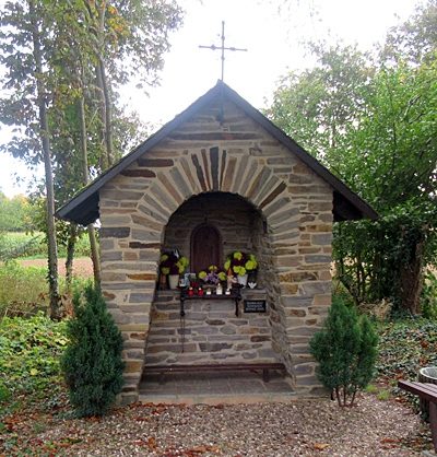 1.0 km
Chapels
Marienkapelle
No picture
1.1 km
Field Names
Lehmkaul
No picture
1.2 km
Vineyard Sites
Rosenberg
No picture
1.3 km
Vineyard Sites
Rosenberg
No picture
1.3 km
Vineyard Sites