Vineyard Sites · 21st Century
Hirtengarten


Classification
- Subject area
- History
- Category
- Vineyard Sites
- Date
- 2018
- Period
- 21st Century
Location
- District
- Trier-Saarburg
- Collective municipality
- Konz
- Municipality
- Oberbillig
- Field name
- Auf den Koben unterm Weg
- Coordinates
- WGS 84: 49.701180, 6.500010 (Position: exact) WGS 84: 49° 42′ 04.2″ N, 6° 30′ 00.0″ E UTM 32 (ETRS89): E 319734 · N 5508408
Sources
Data sources
- [1] Einzellagen Rheinland-Pfalz lt. Weinbergsrolle der Landwirtschaftskammer Rheinland-Pfalz. WMS-Dienst Geoporal Rheinland-Pfalz. Datenlizenz Deutschland – Namensnennung – Version 2.0 (2017).
On the internet
Picture credits
Last edited: 19 Sep 2022 Object ID: 47383
https://kulturdb.de/en/objekt/47383-oberbillig-hirtengarten
Nearby
The nearest objects
No picture
180 m
Extraction and Processing of Raw Materials
Ehemaliger Steinbruch
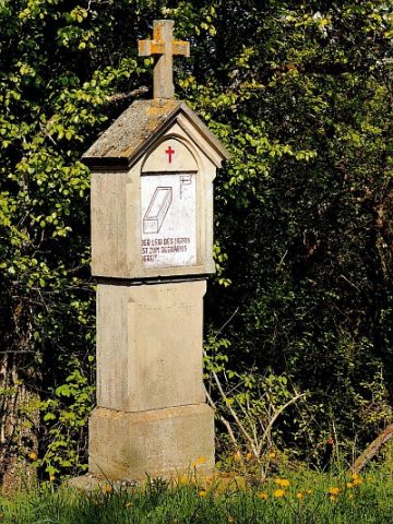 190 m
Wayside Shrines and Stations of the Cross
Kreuzweganlage zur Rochuskapelle - 14. Station
 210 m
Viewpoints
Aussichtspunkt Im Kobenberg
 230 m
Wayside Shrines and Stations of the Cross
Kreuzweganlage zur Rochuskapelle - 13. Station
 260 m
Wayside Shrines and Stations of the Cross
Kreuzweganlage zur Rochuskapelle - 12. Station
No picture
280 m
Extraction and Processing of Raw Materials
Ehemaliger Steinbruch
No picture
290 m
Extraction and Processing of Raw Materials
Ehemaliger Steinbruch
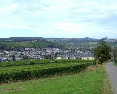 320 m
Vineyard Sites