Road Transport · Celtic / Roman Period
Römerstraße
- Listed monument

Classification
- Subject area
- Archaeological Monuments
- Category
- Economy, Trade and Transport
- Object type
- Road Transport
- Date
- Circa 500 vor Chr. bis circa 500 nach Chr.
- Period
- Celtic / Roman Period
Location
- District
- Bernkastel-Wittlich
- Collective municipality
- Traben-Trarbach
- Municipality
- Kinheim
- Field name
- Aufm Kinheimer Berg
- Coordinates
- WGS 84: 49.988738, 7.039841 (Position: exact) WGS 84: 49° 59′ 19.5″ N, 7° 02′ 23.4″ E UTM 32 (ETRS89): E 359493 · N 5539220
Sources
Data sources
- [1] Digitale TK25. Landesamt für Vermessung und Geobasisinformation Rheinland-Pfalz. 2001 (ISBN 3-89637-345-5)
On the internet
Picture credits
- Picture 1: Igeler Säule (Detail), Nachzeichnung: Rheinisches Landesmusem
Last edited: 13 Aug 2007 Object ID: 4746
https://kulturdb.de/en/objekt/4746-kinheim-roemerstrasse
Nearby
The nearest objects
 510 m
Settlements
Römische Siedlungsstelle
No picture
560 m
Vineyard Sites
Herrenberg
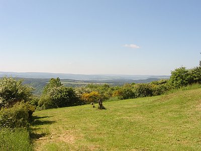 620 m
Viewpoints
Aussichtspunkt Marienkapelle
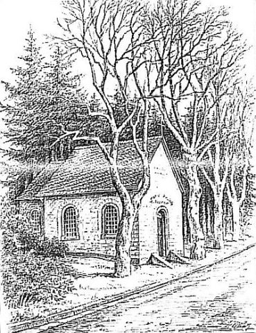 640 m
Chapels
Marienkapelle Kinheimer Bildchen (2)
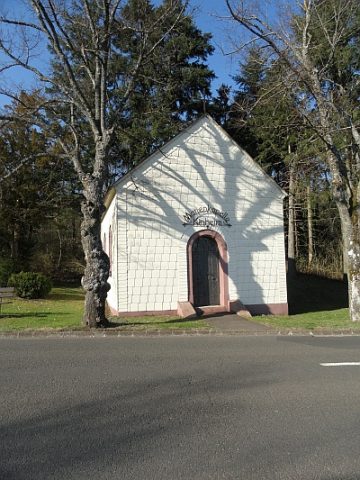 640 m
Chapels
Marienkapelle Kinheimer Bildchen (1)
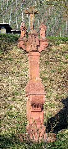 880 m
Wayside Shrines and Stations of the Cross
Kreuzigungsbildstock
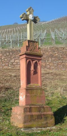 910 m
Wayside Shrines and Stations of the Cross
Pfeilerschaftkreuz / Schrifttafel
No picture
970 m
Field Names