Fords · Undated
Furt durch den Kautenbach


© GeoBasis-DE / LVermGeoRP, dl-de/by-2-0
There is no picture of this object yet. Do you have a photo that you would like to make available to the Kulturdatenbank? Submit a picture
Classification
- Subject area
- Architectural and Art Monuments
- Category
- Economy, Trade and Transport
- Object type
- Fords
- Date
- Undatiert
- Period
- Undated
Location
- District
- Trier-Saarburg
- Collective municipality
- Schweich an der römischen Weinstraße
- Municipality
- Ensch
- Field name
- [Kautenbach]
- Coordinates
- WGS 84: 49.826620, 6.811060 (Position: exact) WGS 84: 49° 49′ 35.8″ N, 6° 48′ 39.8″ E UTM 32 (ETRS89): E 342568 · N 5521652
Sources
Data sources
- OpenStreetMap, 2018
On the internet
Last edited: 28 Mar 2018 Object ID: 47460
https://kulturdb.de/en/objekt/47460-ensch-furt-durch-den-kautenbach
Nearby
The nearest objects
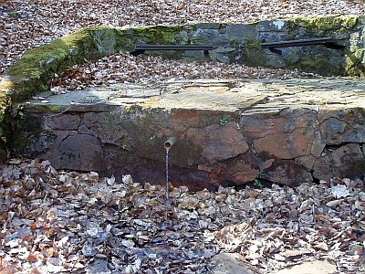 360 m
Mineral Springs
Enscher Sauerbrunnen im Kautenbachtal
No picture
390 m
Field Names
Beim Sauerborn
No picture
480 m
Vineyard Sites
Mühlenberg
No picture
530 m
Field Names
In der Aulwiese
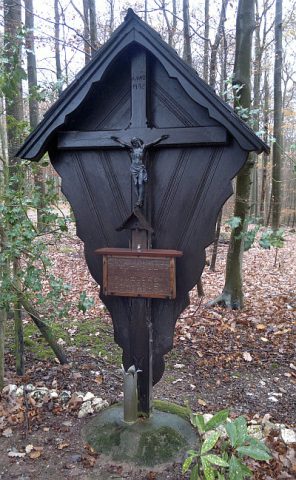 860 m
Wayside Shrines and Stations of the Cross
Aulkreuz im Auleingang
No picture
940 m
Vineyard Sites
Mühlenberg
No picture
1.0 km
Field Names
Viehtrift
No picture
1.1 km
Find Sites