Vineyard Sites · 21st Century
Goldkupp


© GeoBasis-DE / LVermGeoRP, dl-de/by-2-0
There is no picture of this object yet. Do you have a photo that you would like to make available to the Kulturdatenbank? Submit a picture
Classification
- Subject area
- History
- Category
- Vineyard Sites
- Date
- 2018
- Period
- 21st Century
Location
- District
- Trier-Saarburg
- Collective municipality
- Schweich an der römischen Weinstraße
- Municipality
- Mehring
- Field name
- Kuhstantinopel
- Coordinates
- WGS 84: 49.796810, 6.834190 (Position: exact) WGS 84: 49° 47′ 48.5″ N, 6° 50′ 03.1″ E UTM 32 (ETRS89): E 344136 · N 5518290
Sources
Data sources
- [1] Einzellagen Rheinland-Pfalz lt. Weinbergsrolle der Landwirtschaftskammer Rheinland-Pfalz. WMS-Dienst Geoporal Rheinland-Pfalz. Datenlizenz Deutschland – Namensnennung – Version 2.0 (2017).
On the internet
Last edited: 4 Apr 2018 Object ID: 47543
https://kulturdb.de/en/objekt/47543-mehring-goldkupp
Nearby
The nearest objects
No picture
40 m
Vineyard Sites
Goldkupp
No picture
40 m
Vineyard Sites
Goldkupp
No picture
50 m
Vineyard Sites
Goldkupp
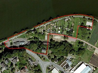 70 m
Field Names
Kühstantinopel
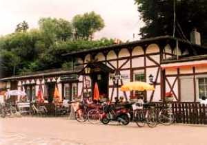 100 m
Railways
Moseltalbahn - Ehemaliger Bahnhof Mehring
No picture
100 m
Lime Kilns
Ehemaliger Kalkofen
No picture
180 m
Vineyard Sites
Goldkupp
No picture
240 m
Vineyard Sites