Monuments · Undated
Gedenktafel Herresthaler Hof


Description
This description is only available in German.
Translate with Google opens this page in Google Translate (external service)
Inschrift:
1247 ERSTE URKUNDLICHE
ERWÄHNUNG HERRESTHAL
BEI DER VERPACHTUNG
DES HERRESTHALER HOFES
DURCH DAS
EUCHARIUSKLOSTER
SANKT MATTHIAS
1763 ZUGEHÖRIGKEIT ZUR
KIRCHENGEMEINDE EUREN
AB 1803 GEMEINDE
TRIERWEILER
SEIT DER EINGEMEINDUNG
VON EUREN AM 8.3.1929
IST HERRESTHAL
STADTTEIL VON TRIER
Inschrift am Sockel:
HERRESTHALER HOF
1247
Classification
- Subject area
- History
- Category
- Markers and Monuments
- Object type
- Monuments
- Date
- Undatiert
- Period
- Undated
Location
- District
- City of Trier
- Collective municipality
- Verbandsfreie Gemeinde Trier
- Town
- Trier
- Locality / location
- Euren
- Street
- Herresthaler Straße
- Field name
- Eurener Wald Bei Wetterborn
- Coordinates
- WGS 84: 49.739850, 6.577640 (Position: exact) WGS 84: 49° 44′ 23.5″ N, 6° 34′ 39.5″ E UTM 32 (ETRS89): E 325470 · N 5512523
Sources
Data sources
- [1] Sven Schröter, Trier, 2018.
On the internet
Picture credits
Last edited: 9 Apr 2018 Object ID: 47613
https://kulturdb.de/en/objekt/47613-trier-gedenktafel-herresthaler-hof
Nearby
The nearest objects
Field Names
Bei Wetterborn
 540 m
Wayside Shrines and Stations of the Cross
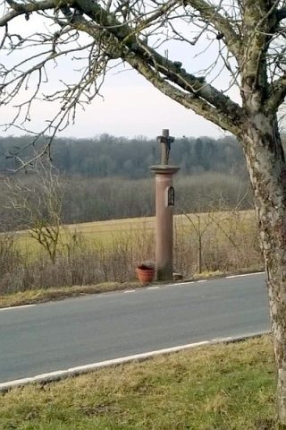
Säulenkreuz an der Herresthaler Straße
Field Names
Beim Wetterborn
 590 m
Deserted Settlements
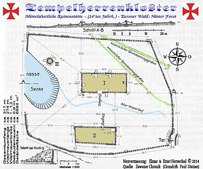
Sogenanntes Tempelherrenkloster
 640 m
Deserted Settlements
Sogenanntes Tempelherrenkloster - Außenwall
Fortresses and Bunkers
Westwall - Munitionslager
Fortresses and Bunkers
Westwall - Bunker
Fortresses and Bunkers