Road Transport · 21st Century
Hängebrücke im Butzerbachtal (2)


Classification
- Subject area
- Architectural and Art Monuments
- Category
- Economy, Trade and Transport
- Object type
- Road Transport
- Date
- 2015
- Period
- 21st Century
- Creator, builder, architect, artist
- Zweckverband Naturpark Südeifel
Location
- District
- Trier-Saarburg
- Collective municipality
- Trier-Land
- Municipality
- Kordel
- Locality / location
- Burg Ramstein
- Field name
- In der Butzerbach
- Coordinates
- WGS 84: 49.822810, 6.631250 (Position: exact) WGS 84: 49° 49′ 22.1″ N, 6° 37′ 52.5″ E UTM 32 (ETRS89): E 329624 · N 5521622
Sources
Data sources
- Peter Valerius, Kordel, 2018.
On the internet
Picture credits
Last edited: 17 Apr 2018 Object ID: 47637
https://kulturdb.de/en/objekt/47637-kordel-haengebruecke-im-butzerbachtal-2
Nearby
The nearest objects
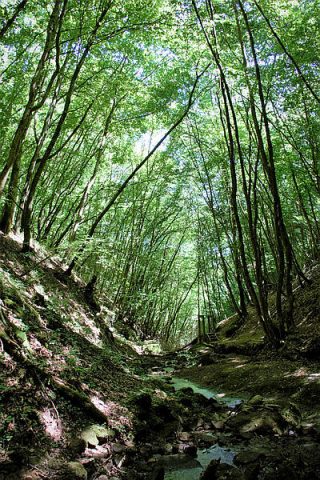 less than 10 m
Field Names
Im Erl
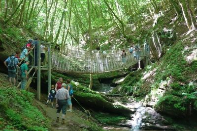 20 m
Road Transport
Hängebrücke im Butzerbachtal (1)
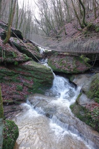 20 m
Waterfalls
Wasserfall im Butzerbachtal (11)
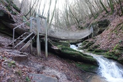 60 m
Waterfalls
Wasserfall im Butzerbachtal (10)
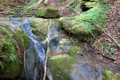 60 m
Waterfalls
Wasserfall im Butzerbachtal (12)
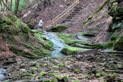 60 m
Fords
Furt durch den Butzerbach (6)
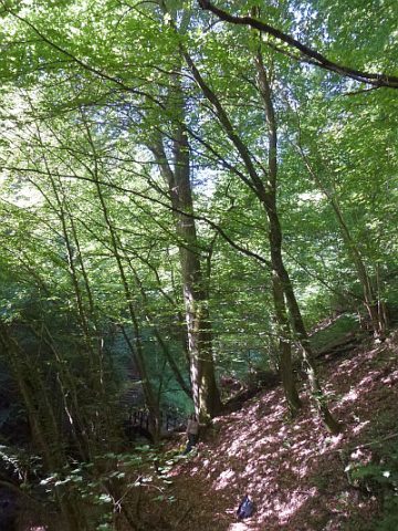 90 m
Beeches
Ehemalige Grenzbuche im Butzerbachtal (1)
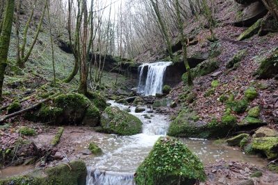 90 m
Waterfalls