Field Names · Undated
Froschpfuhl


© GeoBasis-DE / LVermGeoRP, dl-de/by-2-0
There is no picture of this object yet. Do you have a photo that you would like to make available to the Kulturdatenbank? Submit a picture
Description
This description is only available in German.
Translate with Google opens this page in Google Translate (external service)
Der Froschpfuhl ist ein sumpfiges Wiesengelände, aus dem im Frühjahr lautstark das Gequake der Frösche dringt. [1]
Classification
- Subject area
- History
- Category
- Field Names
- Date
- Undatiert
- Period
- Undated
Location
- District
- Trier-Saarburg
- Collective municipality
- Saarburg-Kell
- Municipality
- Zerf
- Field name
- Fröschenphuhl
- Coordinates
- WGS 84: 49.589180, 6.705700 (Position: exact) WGS 84: 49° 35′ 21.0″ N, 6° 42′ 20.5″ E UTM 32 (ETRS89): E 334184 · N 5495484
Sources
Data sources
- [1] Franzenknüppchen, Medemstück und Brechkaul. Flurnamen bei Zerf: Bedeutung und Wortgeschichte - Erklärt von Winfried Palm. In: Mosella. Heimatkundliche Blätter des Trierischen Volksfreundes für Eifel, Hunsrück, Mosel und Saar. Nr. 1/1982, 30. Jahrgang.
On the internet
Last edited: 19 Apr 2018 Object ID: 47644
https://kulturdb.de/en/objekt/47644-zerf-froschpfuhl
Nearby
The nearest objects
Field Names
In der Wüstgewann
 400 m
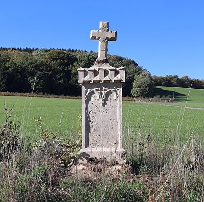
Wayside Shrines and Stations of the Cross
Wegekreuz
Field Names
Bergtrieschgarten
Field Names
Hungerberg
Field Names
Immelgrund
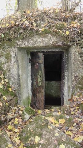 600 m
Water Supply
Ehemaliger Wasserhochbehälter Bergtrieschenwiesen
Fossils
Fundstellen tierischer Versteinerungen
Field Names