Burial Mounds · Undated
Hügelgrab
- Listed monument


Classification
- Subject area
- Archaeological Monuments
- Category
- Burials
- Object type
- Burial Mounds
- Date
- Undatiert
- Period
- Undated
Location
- District
- City of Trier
- Collective municipality
- Verbandsfreie Gemeinde Trier
- Town
- Trier
- Locality / location
- Euren
- Field name
- Eurener Wald Tarnof
- Coordinates
- WGS 84: 49.751990, 6.586480 (Position: exact) WGS 84: 49° 45′ 07.2″ N, 6° 35′ 11.3″ E UTM 32 (ETRS89): E 326150 · N 5513852
Sources
Data sources
- [1] GeoPortal des Landes Rheinland-Pfalz. Http://www.geoportal.rlp.de/
On the internet
Picture credits
Last edited: 14 Jun 2020 Object ID: 47670
https://kulturdb.de/en/objekt/47670-trier-huegelgrab
Nearby
The nearest objects
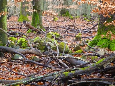 20 m
Burial Mounds
Hügelgrab
 370 m
Oaks
Ehemalige Eiche, genannt „Der dicke Koos“
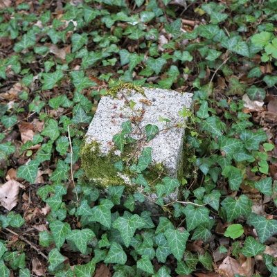 380 m
Surveying
Trigonometrischer Punkt am Mohrenkopf
No picture
390 m
Field Names
Eurener Wald Bei Wolfsborn
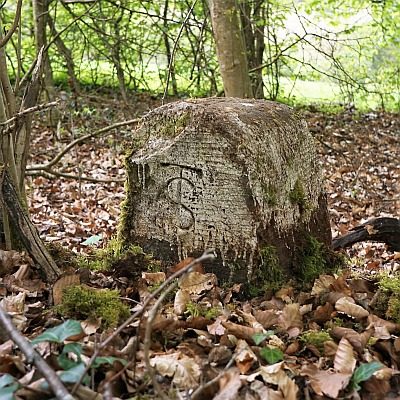 400 m
Surveying
Historischer Grenzstein
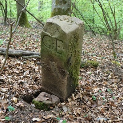 440 m
Surveying
Historischer Grenzstein
No picture
440 m
Field Names
Hinterm Wald bei Wolfsborn
 470 m
Surveying