Catering, Inns and Hotels · Historicism / Art Nouveau
Ehemalige Erfrischungsstation


© GeoBasis-DE / LVermGeoRP, dl-de/by-2-0
There is no picture of this object yet. Do you have a photo that you would like to make available to the Kulturdatenbank? Submit a picture
Description
This description is only available in German.
Translate with Google opens this page in Google Translate (external service)
Im Buch "Eifelwanderungen" von Heinz Hoitz heißt es 1913: "Führt uns das rote Dreieck auf großartigem Höhenweg in 1½ Stunden zur Hochmark. Dicht am Walde eine von der Ortsgruppe Kordel eingerichtete Erfrischungsstation. Beim dicken Apfelbaum Blick auf den Hochwald (und) in die Eifelberge bei Manderscheid." [2]
Classification
- Subject area
- Architectural and Art Monuments
- Category
- Economy, Trade and Transport
- Object type
- Catering, Inns and Hotels
- Date
- 1905
Location
- District
- Trier-Saarburg
- Collective municipality
- Trier-Land
- Municipality
- Kordel
- Locality / location
- Hochmark
- Street
- Hochmark 10
- Field name
- Hochmark
- Coordinates
- WGS 84: 49.851090, 6.669070 (Position: exact) WGS 84: 49° 51′ 03.9″ N, 6° 40′ 08.7″ E UTM 32 (ETRS89): E 332441 · N 5524680
Sources
Data sources
- [1]Trierer Wanderbuch. 115 Spaziergänge und Ausflüge in die Umgebung Triers. Mit Specialkarte 1:40.000. Trier, Verlag Heinr. Stephanus. Zweite, erweiterte Auflage von 1905.
- [2] Hans Hoitz: Eifelwanderungen 5. Aufl., Bonn : Georgi, 1913. https://www.dilibri.de/rlb/content/titleinfo/2200887
On the internet
Last edited: 29 Jan 2021 Object ID: 47737
https://kulturdb.de/en/objekt/47737-kordel-ehemalige-erfrischungsstation
Nearby
The nearest objects
Cremation Graves
Römisches Brandgräberfeld Hochmark
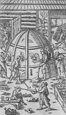 130 m
Extraction and Processing of Raw Materials
Glashütte auf der Hochmark
Springs
Quelle im Waldhang östlich Hochmark
 190 m
Settlements
Römische Siedlungsstelle Hochmark
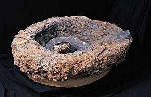 210 m
Extraction and Processing of Raw Materials
Glasofen
 260 m
Charcoal Kilns
Ehemaliger Meilerplatz
270 m
Charcoal Kilns
Ehemaliger Meilerplatz
Field Names