Street Names · Undated
Gellenberg


© GeoBasis-DE / LVermGeoRP, dl-de/by-2-0
There is no picture of this object yet. Do you have a photo that you would like to make available to the Kulturdatenbank? Submit a picture
Description
This description is only available in German.
Translate with Google opens this page in Google Translate (external service)
Am Gellenberg – Nachtigallenberg. [1]
Classification
- Subject area
- History
- Category
- Place Names / Local History
- Object type
- Street Names
- Date
- Undatiert
- Period
- Undated
Location
- District
- City of Trier
- Collective municipality
- Verbandsfreie Gemeinde Trier
- Town
- Trier
- Locality / location
- Heiligkreuz
- Street
- Gelleberg
- Field name
- Ortslage
- Coordinates
- WGS 84: 49.744110, 6.641730 (Position: exact) WGS 84: 49° 44′ 38.8″ N, 6° 38′ 30.2″ E UTM 32 (ETRS89): E 330102 · N 5512849
Sources
Data sources
- [1] Einwohnerbuch der Stadt Trier 1921-22. Verlag der Fr. Lintz'schen Buchhandlung, Trier, Brodstr. 22. https://www.dilibri.de/ubtr/periodical/titleinfo/1252445
On the internet
Last edited: 7 Jun 2018 Object ID: 47744
https://kulturdb.de/en/objekt/47744-trier-gellenberg
Nearby
The nearest objects
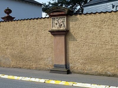 60 m
Wayside Shrines and Stations of the Cross
Sieben Fußfälle - 5. Station
 60 m
Oaks
Pyramideneiche
60 m
Oaks
Pyramideneiche
70 m
Cedars
Zeder
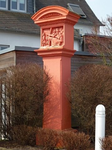 70 m
Wayside Shrines and Stations of the Cross
Sieben Fußfälle - 4. Station
70 m
Cedars
Zeder
Monastic Complexes
Kloster Unserer lieben Frau von Afrika
 120 m
Farmhouses and Farm Buildings