Street Names · Undated
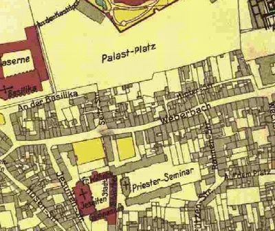
Weberbach


© GeoBasis-DE / LVermGeoRP, dl-de/by-2-0
There is no picture of this object yet. Do you have a photo that you would like to make available to the Kulturdatenbank? Submit a picture
Description
This description is only available in German.
Translate with Google opens this page in Google Translate (external service)
Weberbach – Hier an dem im 19. Jahrhundert überwölbten Stadtbach, betrieben die Trierer Wollenweber ihr Geschäft. [1]
Classification
- Subject area
- History
- Category
- Place Names / Local History
- Object type
- Street Names
- Date
- Undatiert
- Period
- Undated
Location
- District
- City of Trier
- Collective municipality
- Verbandsfreie Gemeinde Trier
- Town
- Trier
- Locality / location
- Mitte-Gartenfeld
- Street
- Weberbach
- Field name
- Ortslage
- Coordinates
- WGS 84: 49.751790, 6.641170 (Position: exact) WGS 84: 49° 45′ 06.4″ N, 6° 38′ 28.2″ E UTM 32 (ETRS89): E 330089 · N 5513704
Sources
Data sources
- [1] Einwohnerbuch der Stadt Trier 1921-22. Verlag der Fr. Lintz'schen Buchhandlung, Trier, Brodstr. 22. https://www.dilibri.de/ubtr/periodical/titleinfo/1252445
On the internet
Last edited: 7 Jun 2018 Object ID: 47753
https://kulturdb.de/en/objekt/47753-trier-weberbach
Nearby
The nearest objects
 10 m
Town Houses and Commercial Buildings
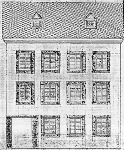
Ehemaliges Gebäude Weberbach 65
 30 m
Stolpersteine (Stumbling Stones)
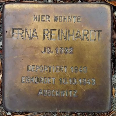
Stolperstein für Erna Reinhardt
 30 m
Stolpersteine (Stumbling Stones)
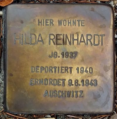
Stolperstein für Hilda Reinhardt
 30 m
Stolpersteine (Stumbling Stones)
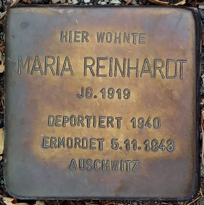
Stolperstein für Maria Reinhardt
Town Houses and Commercial Buildings
Ehemaliges Bürgerhaus Weberbachstraße 62
Town Houses and Commercial Buildings
Ehemaliges Gebäude Weberbach 21
Schools
Ehemaliges Jesuitenkolleg - Schwesternhaus
 40 m
Town Houses and Commercial Buildings