Street Names · Gothic
Estricherhof


© GeoBasis-DE / LVermGeoRP, dl-de/by-2-0
There is no picture of this object yet. Do you have a photo that you would like to make available to the Kulturdatenbank? Submit a picture
Description
This description is only available in German.
Translate with Google opens this page in Google Translate (external service)
Estricherhof – Alter Flurname "Ensterich", schon im 13. Jahrhundert bezeugt. Daselbst seit dieser Zeit auch ein Leprosenhaus. [1]
Classification
- Subject area
- History
- Category
- Place Names / Local History
- Object type
- Street Names
- Date
- 13. Jahrhundert
- Period
- Gothic
Location
- District
- City of Trier
- Collective municipality
- Verbandsfreie Gemeinde Trier
- Town
- Trier
- Locality / location
- Feyen/Weismark
- Street
- Estricherhof
- Field name
- Ortslage
- Coordinates
- WGS 84: 49.723110, 6.620780 (Position: exact) WGS 84: 49° 43′ 23.2″ N, 6° 37′ 14.8″ E UTM 32 (ETRS89): E 328519 · N 5510563
Sources
Data sources
- [1] Einwohnerbuch der Stadt Trier 1921-22. Verlag der Fr. Lintz'schen Buchhandlung, Trier, Brodstr. 22. https://www.dilibri.de/ubtr/periodical/titleinfo/1252445
On the internet
Last edited: 10 Jun 2018 Object ID: 47782
https://kulturdb.de/en/objekt/47782-trier-estricherhof
Nearby
The nearest objects
 30 m
Mills
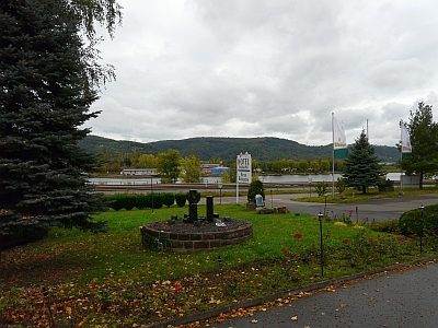
Ehemalige Ölmühle am Hof Estrich
 40 m
Hospitals
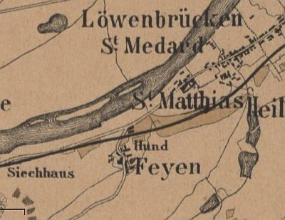
Sankt Matthias - Leprosenhaus Estrich
Mills
Sankt Matthias - Ehemalige Dodechini-Mühle
 150 m
Vineyard Sites
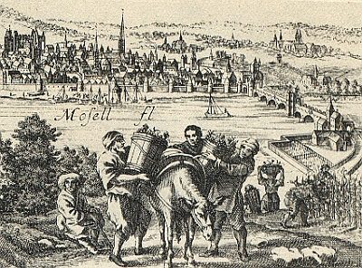
Dudemühle
160 m
Vineyard Sites
Estrich
Street Names
Fritz-Quant-Straße
 270 m
Town Parks and Public Green Spaces
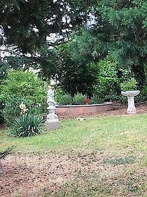
Grafschafter Stadtgarten
 300 m
Chapels