Street Names · Historicism / Art Nouveau
Friedrich-Wilhelm-Straße


Description
This description is only available in German.
Translate with Google opens this page in Google Translate (external service)
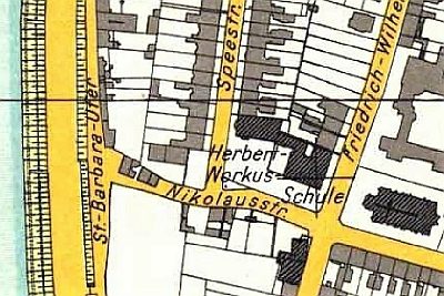
Friedrich-Wilhelmstraße – Nach dem Kronprinzen Friedrich Wilhelm, späterem Kaiser Friedrich III. († 1888), seit 1882 so genannt: früher "Hundsgäßchen" oder "im Hundswinkel". [1]
Classification
- Subject area
- History
- Category
- Place Names / Local History
- Object type
- Street Names
- Date
- 1882
Location
- District
- City of Trier
- Collective municipality
- Verbandsfreie Gemeinde Trier
- Town
- Trier
- Locality / location
- Trier-Süd
- Street
- Friedrich-Wilhelm-Straße
- Field name
- Ortslage
- Coordinates
- WGS 84: 49.747350, 6.629930 (Position: exact) WGS 84: 49° 44′ 50.5″ N, 6° 37′ 47.7″ E UTM 32 (ETRS89): E 329264 · N 5513236
Sources
Data sources
- [1] Einwohnerbuch der Stadt Trier 1921-22. Verlag der Fr. Lintz'schen Buchhandlung, Trier, Brodstr. 22. https://www.dilibri.de/ubtr/periodical/titleinfo/1252445
On the internet
de.wikipedia.org/wiki/Trier-Mitte/Gartenfeld
Picture credits
Last edited: 18 Jun 2021 Object ID: 47801
https://kulturdb.de/en/objekt/47801-trier-sued-friedrich-wilhelm-strasse
Nearby
The nearest objects
 10 m
Schools
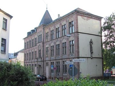
Ehemaliges Schulhaus von Sankt Barbara
 30 m
Stolpersteine (Stumbling Stones)
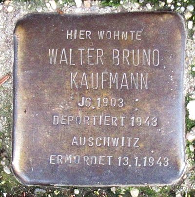
Stolperstein für Walter Bruno Kaufmann
 40 m
Town Houses and Commercial Buildings
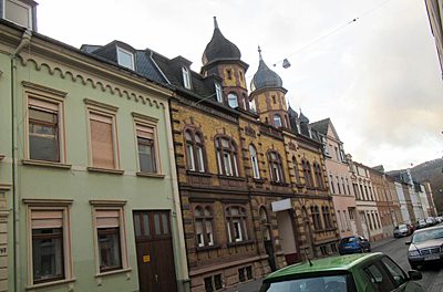
Haus Nikolausstraße 65
40 m
Town Houses and Commercial Buildings
Haus Nikolausstraße 63
50 m
Town Houses and Commercial Buildings
Haus Nikolausstraße 61
 60 m
Wayside Shrines and Stations of the Cross
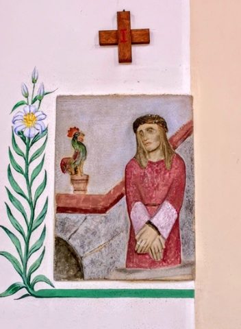
Herz Jesu - Kreuzweg (1)
 60 m
Wayside Shrines and Stations of the Cross
Herz Jesu - Kreuzweg (2)
 60 m
Schools