Street Names · Undated
In der Olk


© GeoBasis-DE / LVermGeoRP, dl-de/by-2-0
There is no picture of this object yet. Do you have a photo that you would like to make available to the Kulturdatenbank? Submit a picture
Description
This description is only available in German.
Translate with Google opens this page in Google Translate (external service)
Olk – Im Trierischen gebäuchlich für ein ausgedehntes herrschaftliches Grundstück, auch einen großen Weinberg. [1]
Classification
- Subject area
- History
- Category
- Place Names / Local History
- Object type
- Street Names
- Date
- Undatiert
- Period
- Undated
Location
- District
- City of Trier
- Collective municipality
- Verbandsfreie Gemeinde Trier
- Town
- Trier
- Locality / location
- Mitte-Gartenfeld
- Street
- In der Olk
- Field name
- Ortslage
- Coordinates
- WGS 84: 49.756010, 6.634750 (Position: exact) WGS 84: 49° 45′ 21.6″ N, 6° 38′ 05.1″ E UTM 32 (ETRS89): E 329641 · N 5514188
Sources
Data sources
- [1] Einwohnerbuch der Stadt Trier 1921-22. Verlag der Fr. Lintz'schen Buchhandlung, Trier, Brodstr. 22. https://www.dilibri.de/ubtr/periodical/titleinfo/1252445
On the internet
Last edited: 13 Jun 2018 Object ID: 47802
https://kulturdb.de/en/objekt/47802-trier-in-der-olk
Nearby
The nearest objects
Town Houses and Commercial Buildings
Wohnhaus
Town Houses and Commercial Buildings
Wohnhaus
Town Houses and Commercial Buildings
Wohnhaus
Town Houses and Commercial Buildings
Wohnhaus
Town Houses and Commercial Buildings
Wohnhaus
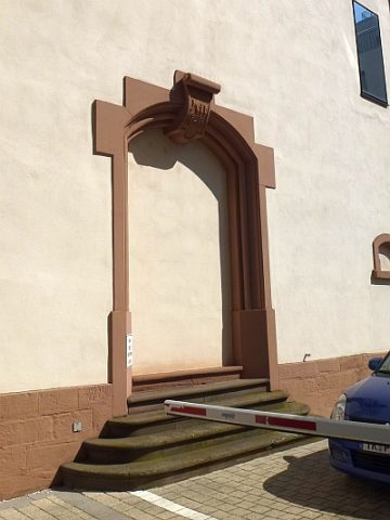 70 m
Engineering Structures and Industrial Sites
Ehemalige Zigarrenfabrik der Firma Vogel & Co. (2)
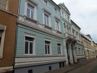 70 m
Town Houses and Commercial Buildings
Doppelwohnhaus
Town Houses and Commercial Buildings