Viewpoints · 20th Century
Ehemaliger Aussichtspunkt Kronprinzkanzel


© GeoBasis-DE / LVermGeoRP, dl-de/by-2-0
There is no picture of this object yet. Do you have a photo that you would like to make available to the Kulturdatenbank? Submit a picture
Classification
- Subject area
- Natural Features
- Category
- Viewpoints
- Date
- 1927
- Period
- 20th Century
Location
- District
- Bernkastel-Wittlich
- Collective municipality
- Wittlich-Land
- Locality / location
- Manderscheid
- Field name
- Auf der Jaak
- Coordinates
- WGS 84: 50.093780, 6.816340 (Position: exact) WGS 84: 50° 05′ 37.6″ N, 6° 48′ 58.8″ E UTM 32 (ETRS89): E 343815 · N 5551341
Sources
Data sources
- [1] Wanderkarte von 1927 (Ausschnitt). Sammlung Hans-Jürgen Neuhaus, Manderscheid (Bernkastel-Wittlich), 2018.
On the internet
Last edited: 29 Jul 2018 Object ID: 47888
https://kulturdb.de/en/objekt/47888-manderscheid-bernkastel-wittlich-ehemaliger-aussichtspunkt-kronprinzkanzel
Nearby
The nearest objects
No picture
50 m
Street Names
Grafenweg
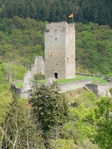 80 m
Castles
Ruine der Oberburg
No picture
100 m
Viewpoints
Ehemaliger Aussichtspunkt Sophienblick
No picture
100 m
Viewpoints
Ehemaliger Aussichtspunkt
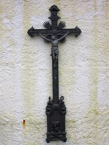 120 m
Burial Sites
Friedhof - Eisernes Grabkreuz
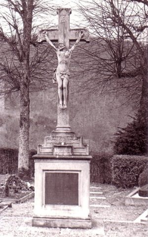 120 m
War Memorials
Friedhof - Ehemaliges Friedhofskreuz
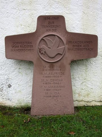 130 m
Monuments
Friedhof - Gedenkstein der Franziskanerinnen
 130 m
Viewpoints