Town Fortifications · Undated
Eingang zur mittelalterlichen Burg


© GeoBasis-DE / LVermGeoRP, dl-de/by-2-0
There is no picture of this object yet. Do you have a photo that you would like to make available to the Kulturdatenbank? Submit a picture
Classification
- Subject area
- Architectural and Art Monuments
- Object type
- Town Fortifications
- Date
- Undatiert
- Period
- Undated
Location
- District
- City of Trier
- Collective municipality
- Verbandsfreie Gemeinde Trier
- Town
- Trier
- Locality / location
- Pfalzel
- Street
- Bei Stiftsstraße 18
- Field name
- Ortslage
- Coordinates
- WGS 84: 49.780030, 6.693970 (Position: exact) WGS 84: 49° 46′ 48.1″ N, 6° 41′ 38.3″ E UTM 32 (ETRS89): E 333988 · N 5516725
Sources
Data sources
- [1] Plan der Ortsbefestigung Pfalzel. In: Wackenroder, Ernst / Neu, Heinrich: Kunstdenkmäler des Landkreises Trier. Düsseldorf 1936. Aufmessung und Zeichnung (1935) von Architekt Franz Krause nach einem Plan des Geh. Reg.- und Baurats A. v. Behr und in Verbindung mit Dipl.-Ing. K. Nagel und Dr. E. Wackenroder.
On the internet
Last edited: 24 Sep 2018 Object ID: 47949
https://kulturdb.de/en/objekt/47949-trier-eingang-zur-mittelalterlichen-burg
Nearby
The nearest objects
No picture
less than 10 m
Rectories
Mansardwalmdachbau Stiftstraße 19
No picture
30 m
Flood Marks
Hochwassermarke
No picture
30 m
Town Houses and Commercial Buildings
Wohnhaus
No picture
30 m
Rectories
Kurfürstliches Hofhaus von 1724
No picture
30 m
Monastic Complexes
Ehemaliges Adula-Kloster
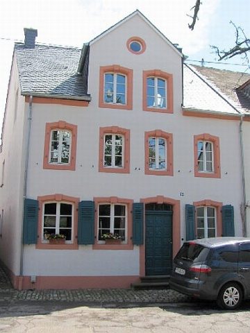 40 m
Town Houses and Commercial Buildings
Wohnhaus
No picture
40 m
Town Fortifications
Älterer Turm der Befestigung
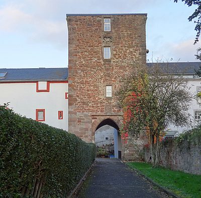 50 m
Town Fortifications