Historic Townscapes · 20th Century
Spang's Garten


Description
This description is only available in German.
Translate with Google opens this page in Google Translate (external service)
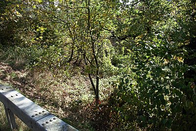
Ehemals von der Familie Spang bewirtschafteter Garten. [1]
Classification
- Subject area
- History
- Category
- Historic Townscapes
- Date
- Nach 1918
- Period
- 20th Century
Location
- District
- Trier-Saarburg
- Collective municipality
- Trier-Land
- Municipality
- Kordel
- Field name
- Beim Rödelnkreuz
- Coordinates
- WGS 84: 49.833633, 6.646892 (Position: exact) WGS 84: 49° 50′ 01.1″ N, 6° 38′ 48.8″ E UTM 32 (ETRS89): E 330786 · N 5522790
Sources
Data sources
- [1] Mathilde Seer, Kordel, 2018.
On the internet
Picture credits
Last edited: 10 Oct 2018 Object ID: 47980
https://kulturdb.de/en/objekt/47980-kordel-spang-s-garten
Nearby
The nearest objects
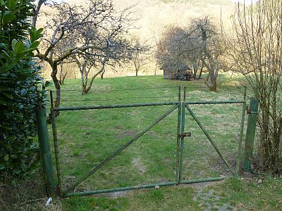 20 m
Field Names
Beim Rödelnkreuz
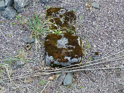 20 m
Wayside Shrines and Stations of the Cross
Ehemaliges Rödelnkreuz
 70 m
Charcoal Kilns
Ehemaliger Meilerplatz
80 m
Charcoal Kilns
Ehemaliger Meilerplatz
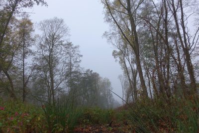 100 m
Field Names
Beim Palmbrunnen
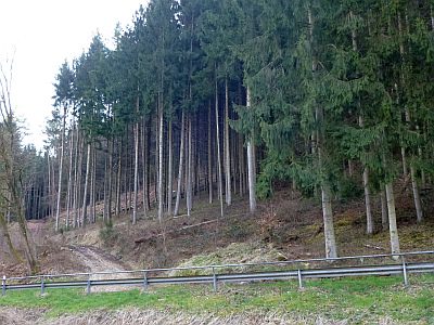 150 m
Field Names
Im Heidenberg
160 m
Charcoal Kilns
Ehemaliger Meilerplatz
 170 m
Fountains and Wells