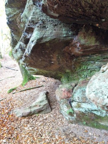
Rocks · Undated
Teil der Kutlei
- Listed monument


Description
This description is only available in German.
Translate with Google opens this page in Google Translate (external service)
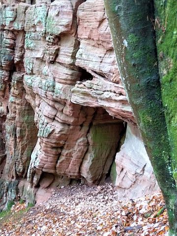
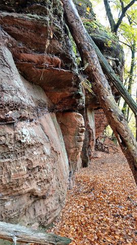
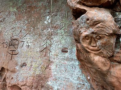
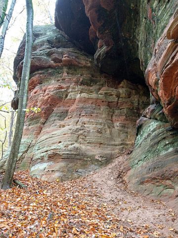
Natürlicher Silikatfels. Schutzstatus: Schutz zur Erhaltung von Lebensgemeinschaften. Biotoptypen der gesetzlich geschützten Biotope. [1]
Lei - Bedeutung: 1. Schiefer als Gesteinsart. – 2. Anstehender Schieferfels; besonders eine platte, felsige, nackte Stelle im Berghang. – 3. In der Eifel jede Steinplatte. [2]
Eine Wanderkarte aus den 1920er Jahren nennt den Felszug 'Kuttlayen - Teufels-Mauer'. [3]
Classification
- Subject area
- Natural Features
- Category
- Rocks
- Date
- Undatiert
- Period
- Undated
Location
- District
- Trier-Saarburg
- Collective municipality
- Trier-Land
- Municipality
- Kordel
- Locality / location
- Burg Ramstein
- Field name
- Hinter der Huhburg
- Coordinates
- WGS 84: 49.806000, 6.643998 (Position: exact) WGS 84: 49° 48′ 21.6″ N, 6° 38′ 38.4″ E UTM 32 (ETRS89): E 330482 · N 5519724
Sources
Data sources
- [1] http://map.naturschutz.rlp.de/cocoon/osiris/html/7660100?GISPADID=1…
- [2] Dittmaier, Heinrich: Rheinische Flurnamen. Ludwig Röhrscheid Verlag, Bonn, 1963.
- [3] Werner, Hans (Ramstein): Wander-Karte durch Trier's Umgebung auf dem linken Mosel-Ufer. Verlag Schaar & Daathe, Trier. 1920er Jahre. Sammlung Jörg Busch, Trier-Biewer, 2020.
On the internet
map.naturschutz.rlp.de/cocoon/osiris/html/7660100?GISPADID=1616534
Picture credits
Last edited: 23 Oct 2020 Object ID: 48048
https://kulturdb.de/en/objekt/48048-kordel-teil-der-kutlei