Place Names / Local History · Undated
Ortsname / Ortsgeschichte


Description
This description is only available in German.
Translate with Google opens this page in Google Translate (external service)
Der Ort Hunolstein, der sich in unmittelbarer Nähe der Burg befindet siedelte etwa um 1525 am jetzigen Standort an. Die Vorfahren der Hunolsteiner wohnten in dem Ort Lampersberg, welcher jetzt an dieser Stelle als Flurname im Bereich Hunolstein existiert. Den Ortsnamen verdankt der Ort selbstverständlich der naheliegenden Burg.
Classification
- Subject area
- History
- Category
- Place Names / Local History
- Date
- Undatiert
- Period
- Undated
Location
- District
- Bernkastel-Wittlich
- Collective municipality
- Einheitsgemeinde Morbach
- Municipality
- Morbach
- Locality / location
- Hunolstein
- Field name
- Ortslage
- Coordinates
- WGS 84: 49.799504, 7.047240 (Position: within the village) WGS 84: 49° 47′ 58.2″ N, 7° 02′ 50.1″ E UTM 32 (ETRS89): E 359475 · N 5518168
Sources
Data sources
- Homepage der Gemeinde Morbach http://www.morbach.de/gemeinde/ortsbezirke.htm
On the internet
Picture credits
Last edited: 27 Jan 2004 Object ID: 4812
https://kulturdb.de/en/objekt/4812-morbach-ortsname-ortsgeschichte
Nearby
The nearest objects
 less than 10 m
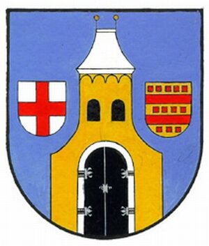
Coats of Arms
Wappen von Morbach-Hunolstein
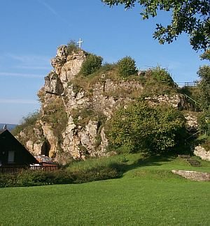
Wayside Shrines and Stations of the Cross
Wegekreuz
 140 m
Castles
Ehemaliges Schloss Hunolstein
Field Names
Im Bungert
Wayside Shrines and Stations of the Cross
Wegekreuz
 200 m
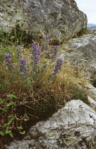
Rocks
Hunolstein
 200 m
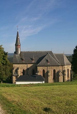
Catholic Churches
Sankt Johannes der Täufer
Field Names